Bleadon Hill
![]()
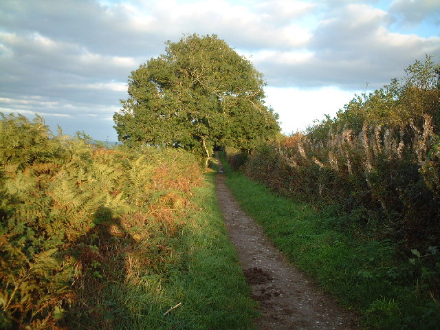
![]() Enjoy great views to the Somerset Levels and coast on this climb to Bleadon Hill. As well as the views there's lots of flora and fauna to enjoy. Look out for plants including wild thyme, common spotted orchid, pyramidal orchid and bee orchid. You may also see Buzzards flying overhead.
Enjoy great views to the Somerset Levels and coast on this climb to Bleadon Hill. As well as the views there's lots of flora and fauna to enjoy. Look out for plants including wild thyme, common spotted orchid, pyramidal orchid and bee orchid. You may also see Buzzards flying overhead.
The hill is located just to the south east of Weston-Super-Mare. There is roadside parking on the Roman Road running across the hill. From here you can follow country lanes to Upper Canada before picking up footpaths to take you across the woodland on Hutton Hill. You then follow the West Mendip Way along the Roman Road to take you back to the car park. The walk can be extended by heading south towards the village of Loxton. You can follow the West Mendip Way past Loxton Hill and Loxton Wood to the village. Here you will find the Parish Church of St Andrew which dates from the 11th century.
You could also head to the larger village of Bleadon just to the south west of the hill. Here you will find the Grade I listed Church of St Peter and St Paul which dates from the 14th century. There are also good options for taking on refreshments after your walk.
If you'd like to further extend your walk then head west to the coast and explore the wonderful Brean Down where there are splendid views of the Bristol Channel, south Wales and Weston Super Mare.
If you head south east along the trail you can visit the nearby Loxton village, Crook Peak and Wavering Down for more great hill top walking.
Postcode
BS24 0AD - Please note: Postcode may be approximate for some rural locationsBleadon Hill Ordnance Survey Map  - view and print off detailed OS map
Bleadon Hill Open Street Map  - view and print off detailed map
Bleadon Hill OS Map  - Mobile GPS OS Map with Location tracking
Bleadon Hill Open Street Map  - Mobile GPS Map with Location tracking
Explore the Area with Google Street View 
Pubs/Cafes
Just to the south west of the hill there's Bleadon village where you can visit The Queens Arms. The pub serves and excellent Sunday roast which you can enjoy in the large outdoor seating area. The interior is charming too with flagstone floors and fireplaces. You can find them on Celtic Way at postcode BS24 0NF.
Dog Walking
The hill and surrounding woods and countryside make for a fine dog walk. The Queens Arms mentioned above is also dog friendly.
Further Information and Other Local Ideas
Just to the west of the hill is the delightful Uphill Nature Reserve. The reserve is well worth exploring with great views from the high point at Uphill Beacon and lots of interesting flora and fauna. The reserve is located in the neighbouring village of Uphill which also includes an elevated old church and the remains of a windmill.
Just to the east is the worthy settlement of Axbridge. The historic town includes a medieval town square, several half timbered buildings, an early 1600s pub and the Tudor King John's Hunting Lodge which houses a fine local museum. From here you can enjoy walks to Cheddar Reservoir and the specatcular Cheddar Gorge.
For more walking ideas in the area see the Somerset Walks and Mendip Hills Walks pages.
Cycle Routes and Walking Routes Nearby
Photos
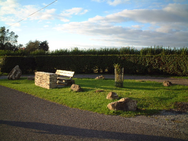
Lay-by on the hill. Plaque on the bench reads "In celebration of the life of George Wall 1927 to 1999 friend and farmer of Bleadon. And thus we sit together now sharing his favourite view"


