Broomhead Reservoir
![]()
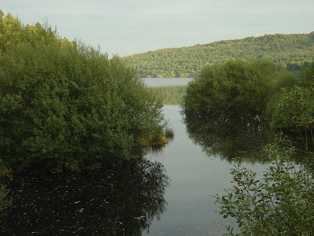
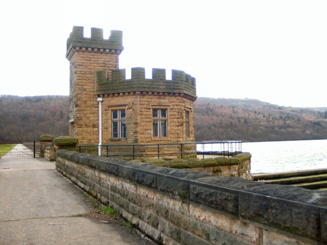
![]() Enjoy an easy circular walk around this reservoir in South Yorkshire's Ewden Valley near Stocksbridge. There's a nice footpath running around the perimeter of the water for just over 2 miles. You can enjoy excellent views across the water to the Peak District countryside and woodland.
Enjoy an easy circular walk around this reservoir in South Yorkshire's Ewden Valley near Stocksbridge. There's a nice footpath running around the perimeter of the water for just over 2 miles. You can enjoy excellent views across the water to the Peak District countryside and woodland.
Start the walk from the small parking area on the southern side of the water. It's located just off New Road near Fox Hill Wood. From here you can pick up the signed footpath to take you around the lake.
The reservoir is located a short walk from More Hall Reservoir so you can easily extend your walk here.
Also nearby is Wharncliffe Woods and Grenoside Woods where you can pick up the long distance Trans Pennine Trail.
Postcode
S36 4ZA - Please note: Postcode may be approximate for some rural locationsBroomhead Reservoir Ordnance Survey Map  - view and print off detailed OS map
Broomhead Reservoir Open Street Map  - view and print off detailed map
Broomhead Reservoir OS Map  - Mobile GPS OS Map with Location tracking
Broomhead Reservoir Open Street Map  - Mobile GPS Map with Location tracking
Pubs/Cafes
The little village of Bolsterstone is just a short distance north of the reservoir. Here you'll find the Castle Inn which is a typical English village pub. The friendly pub does a great Sunday lunch and is likely to have plenty of other walkers there. It's dog friendly and can be found at postcode S36 3ZB for your sat navs.
Dog Walking
The reservoir and surrounding woods are a nice place for a dog walk. The Castle Inn in mentioned above is also dog friendly and you're bound to see other owners there or at the reservoir on a fine day.
Further Information and Other Local Ideas
The Stocksbridge Walk takes you to Moor Hall and Broomhead Reservoirs from the nearby town.
For more walking ideas in the area see the Peak District Walks page.


