Buckingham Railway Walk
![]()
![]() This easy walk follows a nice footpath along the old Buckingham railway line near the centre of Buckingham.
This easy walk follows a nice footpath along the old Buckingham railway line near the centre of Buckingham.
It's a very pretty area with wildlife ponds, shady woodlands and an orchard to see. Keep your eyes peeled for a variety of flora and fauna including woodland birds, butterflies, dragonflies, amphibians and wild flowers.
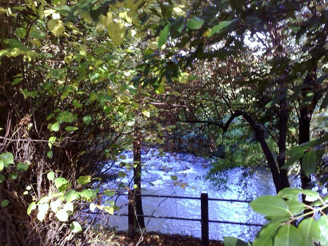
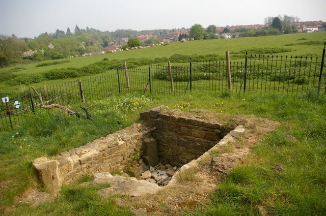
The walk starts just off the Tingewick Road near to the university. You can then follow the flat footpath south east to the A421. Near the start you'll pass St Rumbold's Well which is an interesting part of Buckingham's history related to the 6th century child saint. You'll also pass the River Ouse and the impressive weir at the 'Flosh' & Lords Bridge.
The walk can be extended by heading north east along the Buckingham Circular Walk to Bourton Park along the Buckingham Brook.
Postcode
MK18 1DZ - Please note: Postcode may be approximate for some rural locationsBuckingham Railway Walk Ordnance Survey Map  - view and print off detailed OS map
Buckingham Railway Walk Open Street Map  - view and print off detailed map
Buckingham Railway Walk OS Map  - Mobile GPS OS Map with Location tracking
Buckingham Railway Walk Open Street Map  - Mobile GPS Map with Location tracking
Pubs/Cafes
The Mitre is the oldest pub in Buckingham and located on the walk. The 17th century pub has a fantastic garden and patio area here if the weather is good. Inside there's a cosy real open fire as well as a new log burner in winter. You can find the pub at 2 Mitre Street with a postcode of MK18 1DW for your sat navs.
Dog Walking
The peaceful trail is a nice place to take your dog for a stroll. There are signs which will tell you where the on lead areas are. The Mitre pub mentioned above is also dog friendly.
Further Information and Other Local Ideas
You can continue your walking around the town on the Buckingham Walk and visit the beautiful Stowe Park.
For more walking ideas in the area see the Buckinghamshire Walks page.
Cycle Routes and Walking Routes Nearby
Photos
Old Railway Bridge, Bath Lane. The old railway bridge over Bath Lane, Buckingham. There is now a footpath where once the trains rolled.
The Mitre, Buckingham. Three to four changing beers from all parts of the country in this cosy pub adjacent to the old railway viaduct. The thatched building in the foreground is Mitre Cottage - the remains of a 15 century cruck framed hall house converted in the 17th century when a 1st floor was added.


