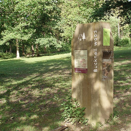
Bucknell Woods
![]()
![]() Enjoy peaceful woodland walks in this forested area near Silverstone and Abthorpe. There's a good sized car park on the eastern side of the woods, about half a mile north west of Silverstone village. From here you can pick up wide bridleways and other footpaths to take you around the site. There's hundreds of acres of ancient woodland and a variety of butterflies to look out for on the way. You can also see lots of pretty bluebells during the spring months.
Enjoy peaceful woodland walks in this forested area near Silverstone and Abthorpe. There's a good sized car park on the eastern side of the woods, about half a mile north west of Silverstone village. From here you can pick up wide bridleways and other footpaths to take you around the site. There's hundreds of acres of ancient woodland and a variety of butterflies to look out for on the way. You can also see lots of pretty bluebells during the spring months.
To continue your walking in the area head south to Hazelborough Wood. It's only a short distance away and is another good place for butterfly spotting and bluebells.
Just to the east you can pick up the Grafton Way long distance trail. The trail runs through nearby Towcester and is a great way of exploring the Northamptonshire countryside.


