Buriton Circular Walk
![]()
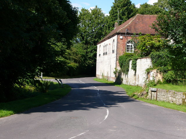
![]() Buriton is a very pretty quintessential English village located in East Hampshire, two miles south of Petersfield. In the village there's a particularly lovely village pond, picturesque cottages, a classic village pub and a fine old church.
Buriton is a very pretty quintessential English village located in East Hampshire, two miles south of Petersfield. In the village there's a particularly lovely village pond, picturesque cottages, a classic village pub and a fine old church.
This circular walk from the village explores Queen Elizabeth Country Park before climbing to the popular viewpoint at Butser Hill. They are two of the highlights of this scenic area of the South Downs.
The walk starts from the free car park by the village pond where you can pick up the Hangers Way and follow the waymarked footpath south west into Queen Elizabeth Country Park. There's miles of fine woodland and parkland trails here with a good visitor centre.
After a mile or so in the park you turn north to head towards Butser Hill. The hill is the highest point on the chalk ridge of the South Downs and the second highest point in the South Downs National Park after Blackdown in the Western Weald. On the hill there is a wide variety of flora and fine views over the surrounding area.
After taking in the views on the hill you head north past Ramsdean Down before turning south east on a country lane which will lead you back into Buriton.
Postcode
GU31 5RT - Please note: Postcode may be approximate for some rural locationsBuriton Ordnance Survey Map  - view and print off detailed OS map
Buriton Open Street Map  - view and print off detailed map
Buriton OS Map  - Mobile GPS OS Map with Location tracking
Buriton Open Street Map  - Mobile GPS Map with Location tracking
Pubs/Cafes
The Five Bells is a traditional country pub with a lovely rustic outside seating area at the front of the pub and a selection of cosy nooks and crannies to choose from inside. You can find it north of the pond, on the High Street with a postcode of GU31 5RX for your sat navs
Dog Walking
The woodland and country trails on the route make for a fine dog walk. The Five Bells mentioned above is also dog friendly.
Further Information and Other Local Ideas
The South Downs Way passes through the area and provides an opportunity for exploring the surrounding area on foot. You could also head north into Petersfield and try the Petersfield Lake and Heath Walk.
Head east along the South Downs Way and you could visit another splendid viewpoint at Harting Down. There's also the nearby village of South Harting where you could pay a visit to the National Trust's Uppark. Here you'll find a fine 17th century Georgian House surrounded by lovely gardens with views of the English Channel. The author H.G Wells stayed in the house during the late 19th century. The class divisions he observed here inspired his socialist views which later manifested themselves in work such as 'The Time Machine'. You can find the house at postcode GU31 5QR.
Just to the south you can pick up the Clanfield Walk and visit Butser Ancient Farm and Windmill Hill. The farm is one of the area highlights and includes an archaeological open-air museum with reconstructions of Neolithic dwellings, Iron Age roundhouses, a Romano-British villa and an early Saxon house.
For more walking ideas in the area see the South Downs Walks page.


