Burrough Hill Country Park
![]()
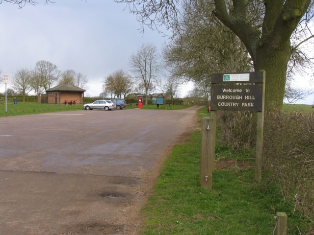
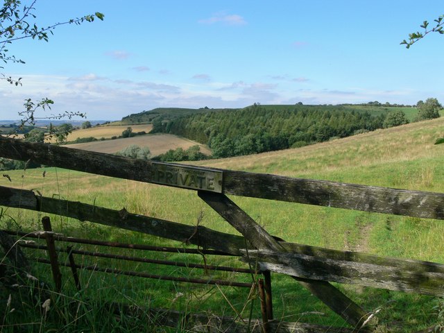
![]() This circular walk climbs to the 210m (690 ft) high Burrough Hill. Here you'll find a well-preserved Iron Age hill fort and fabulous views of the Leicestershire countryside. Plantlife in the park includes wild thyme, harebell, lady's bedstraw, salad burnet and musk thistle. Also look out for skylarks, linnets, yellowhammers, willow warblers, woodpeckers, and kestrels.
This circular walk climbs to the 210m (690 ft) high Burrough Hill. Here you'll find a well-preserved Iron Age hill fort and fabulous views of the Leicestershire countryside. Plantlife in the park includes wild thyme, harebell, lady's bedstraw, salad burnet and musk thistle. Also look out for skylarks, linnets, yellowhammers, willow warblers, woodpeckers, and kestrels.
Burrough Hill is located a few miles south of Melton Mowbray near the villages of Burrough on the Hill and Somerby.
You can extend your walking in the area by visiting the lovely Melton Country Park where there are a number of nice footpaths to follow around the pretty lakes.
The Leicestershire Round walking route also runs through the park so you could continue your walk along this waymarked trail. Following it west will take you through the countryside to Thorpe Satchville and Ashby Folville. Just to the south east is the village of Somerby.
Postcode
LE14 2QZ - Please note: Postcode may be approximate for some rural locationsPlease click here for more information
Burrough Hill Country Park Ordnance Survey Map  - view and print off detailed OS map
Burrough Hill Country Park Open Street Map  - view and print off detailed map
Burrough Hill Country Park OS Map  - Mobile GPS OS Map with Location tracking
Burrough Hill Country Park Open Street Map  - Mobile GPS Map with Location tracking
Pubs/Cafes
At the site you'll find the Coffee Shack, serving hot and cold drinks from an on site kiosk.
You could also head into Somerby and visit The Stilton Cheese Inn. They serve good quality food and have outdoor seating as well. You can find them just to the south east of the car park on the High Street in Somerby with postcode LE14 2QB.
Just to the south west there's the village of Burrough on the Hill where you'll find the Stag and Hounds. This award winning village pub dates from the 16th century. In September 2019 they won the Great Food Club award and also the Dining Pub of the Year award for 2021. They serve high quality food with ingredients from their own kitchen garden. They also have outdoor seating if the weather is good. You can find them on Main St, Burrough on the Hill, LE14 2JQ.
Dog Walking
The woodland and parkland trails make for a fine dog walk so you'll probably see other owners on your visit. You are advised to keep them under close control and not allow them to swim in the lakes though. The pubs mentioned above are also dog friendly.
Further Information and Other Local Ideas
Head east from the site and you could visit Oakham and the splendid Rutland Water where there a lovely walking an cycling route to follow around the expansive lake.
To the south there's the historic Launde Abbey Estate to explore. Here you can explore the landscaped gardens and attractive parkland surrounding the fine Elizabethan manor house.
For more walking ideas in the area see the Leicestershire Walks page.
Cycle Routes and Walking Routes Nearby
Photos
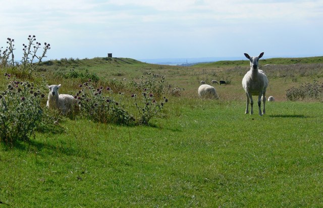
The sheep guarding the entrance to the Iron Age Hill Fort at the summit of Burrough Hill. The toposcope in the background gives great views across Leicestershire.


