Cairnpapple Hill Walk
![]()
![]() This walk climbs to Cairnpapple Hill near Bathgate in West Lothian.
This walk climbs to Cairnpapple Hill near Bathgate in West Lothian.
At the historic site you will find an ancient henge dating back nearly 4000 years.
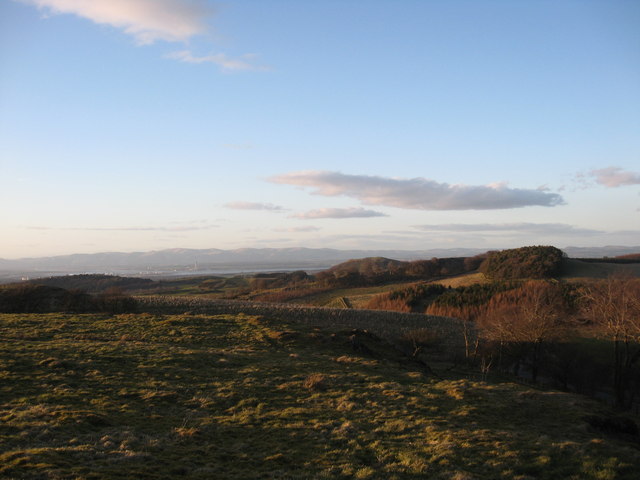
You can start your walk from the roadside parking area just to the east of the hill. There's room for a few cars here and a sign pointing up to the hill next to some steps. Following the path west for about a quarter of a mile and it will take you up to the hill top which stands at a height of 312 m (1,024 ft). Here you can explore the fascinating ancient site and enjoy some excellent views. There are also information boards and a visitor centre where you can learn all about the history of the area. You can enter the north grave to see the burial chamber here too.
The hill sits just to the south of Beecraigs Country Park where you can continue your outing if you have time. On the western side of the park you can pay a visit to Lochcote Reservoir and Cockleroy Hill where there's some pleasant waterside trails and fine views over the area.
Also to the north is Witchcraig Wood where there's some interesting trails and another hills climb.
Cairnpapple Hill Ordnance Survey Map  - view and print off detailed OS map
Cairnpapple Hill Open Street Map  - view and print off detailed map
Cairnpapple Hill OS Map  - Mobile GPS OS Map with Location tracking
Cairnpapple Hill Open Street Map  - Mobile GPS Map with Location tracking
Cycle Routes and Walking Routes Nearby
Photos
Summit of Cairnpapple. The circular trench and bank in the foreground here were dug to form a henge some 5,000 years ago by our neolithic ancestors. Inside the ring are the holes which once held 24 wooden posts. About 1000 years later the practice of burials in the centre of the (by then disused) henge commenced, and eventually a large cairn grew over the burial places. The central cairn seen here is a concrete one, put into place over the burial chamber, following excavations. Inside it are the preserved remains of the original grave (the 'north grave') and a later cist grave.


