Carn Ingli Walk
![]()
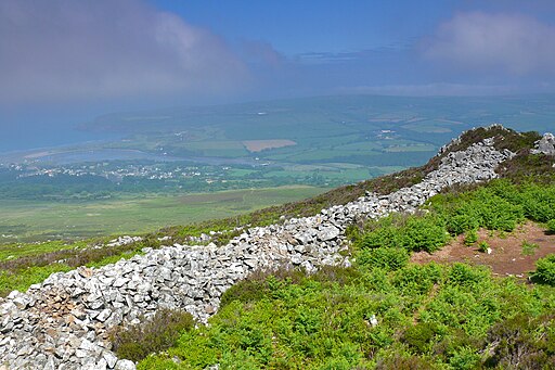
![]() This walk climbs to Carn Ingli mountain in the Preseli Hills of Pembrokeshire. The area is designated as a Site of Special Scientific Interest due to its rare flora and fauna. There's also a number of fascinating ancient sites, wonderful geology and some stunning views to the Pembrokeshire coast.
This walk climbs to Carn Ingli mountain in the Preseli Hills of Pembrokeshire. The area is designated as a Site of Special Scientific Interest due to its rare flora and fauna. There's also a number of fascinating ancient sites, wonderful geology and some stunning views to the Pembrokeshire coast.
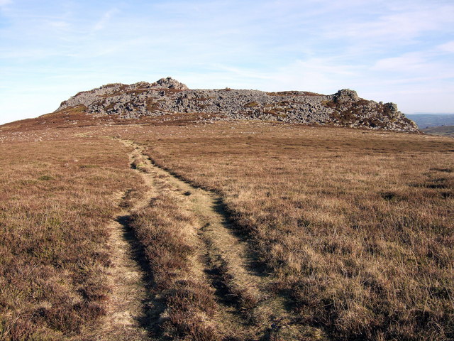
You can start the walk from the public car park just south of the village of Newport. From here you can pick up the old railway trails heading west to the hill summit. Here you will find the Iron Age Carningli Hillfort, one of the largest hillforts in west Wales. The expansive site includes a series of substantial stone embankments, natural rock cliffs and scree slopes. There's also terraced enclosures, hut circles and rectangles with some areas dating from the Bronze Age.
From the 346 m (1,135 ft) summit there are wonderful views to the coast and the surrounding hills.
To explore the area further head south east to pick up the Preseli Hills Golden Road.
Carn Ingli Ordnance Survey Map  - view and print off detailed OS map
Carn Ingli Open Street Map  - view and print off detailed map
Carn Ingli OS Map  - Mobile GPS OS Map with Location tracking
Carn Ingli Open Street Map  - Mobile GPS Map with Location tracking
Further Information and Other Local Ideas
Just to the north east there's more ancient history at the photogenic Pentre Ifan. Here you will find the most well preserved neolithic dolmen in Wales and more great views. Near here there's also the Pengelli Forest and Castell Henllys where there's some peaceful woodland trails and a fascinating Iron Age village to explore.


