Cheesefoot Head
![]()
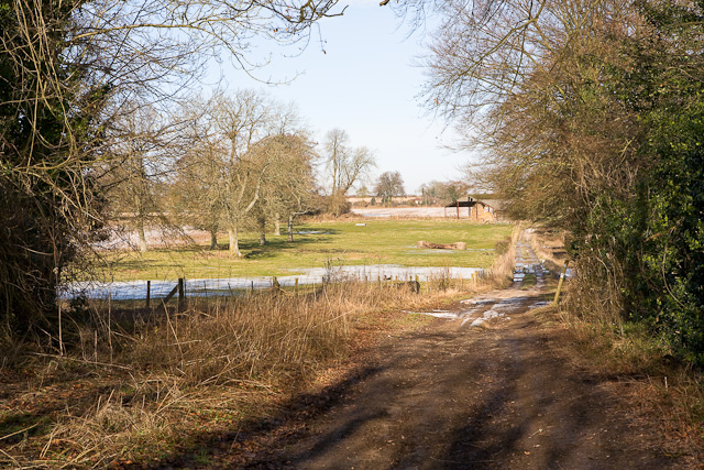
![]() This circular walk visits a large natural amphitheatre near Winchester before exploring the surrounding area on a network of footpaths. It's an undulating route with some moderate climbs and lovely views over the South Downs, The New Forest, the Isle of Wight and Butser Hill.
This circular walk visits a large natural amphitheatre near Winchester before exploring the surrounding area on a network of footpaths. It's an undulating route with some moderate climbs and lovely views over the South Downs, The New Forest, the Isle of Wight and Butser Hill.
Start the walk from the Cheesefoot Head car park a few miles east of Winchester, near the small village of Chilcomb. From here you can pick up the King's Way and the South Downs Way to take you past the site and into the surrounding countryside.
Start by heading south along the King's Way through Longwood Warren before bending round to the east. You'll pass pockets of woodland before coming to Lane End and Beauworth. Here you turn north along Holden Lane, following the South Downs Way across Gander Down. You then turn south, passing the woodland in the Temple Valley before returning to the car park.
The South Downs Way starts in nearby Winchester so you could start the walk from the city if you prefer.
To extend the walk you can head east and visit Hinton Ampner near Cheriton. Here you can explore the beautiful gardens surrounding a fine stately home. In Cheriton there's a noteworthy 13th century church, some picturesque thatched cottages and the site of the Battle of Cheriton which took place as part of the English Civil War in 1544.


