Chelmarsh Reservoir
![]()
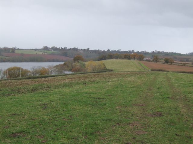
![]() This circular walk takes you around the pretty Chelmarsh Reservoir in the Severn Valley. On the way you'll enjoy views of the River Severn and visit the little village of Chelmarsh.
This circular walk takes you around the pretty Chelmarsh Reservoir in the Severn Valley. On the way you'll enjoy views of the River Severn and visit the little village of Chelmarsh.
The walk starts from Hampton Railway station on the Severn Valley Railway. You can catch the fine heritage steam trains from Bewdley or Bridgnorth. From the station it is a short walk to the reservoir using a section of the Jack Mytton Way long distance footpath. Follow the waymarked trail north and it will take you around the northern part of the reservoir and into Chelmarsh.
The route then heads south through Chelmarsh Common to Sutton before heading along the southern part of the reservoir and returning to the train station.
If you are looking for a longer route then you could try our Bridgnorth Walk which uses the Severn Way to visit the reservoir from the town.
Chelmarsh Reservoir Ordnance Survey Map  - view and print off detailed OS map
Chelmarsh Reservoir Open Street Map  - view and print off detailed map
Chelmarsh Reservoir OS Map  - Mobile GPS OS Map with Location tracking
Chelmarsh Reservoir Open Street Map  - Mobile GPS Map with Location tracking
Further Information and Other Local Ideas
Just to the east of the lake you'll find one of the highlights of the area at Dudmaston Hall. This National Trust owned hall dates from the 17th century and includes expansive parkland and woodland. The area also includes the adjacent Comer Woods. The woods have their own car park and entrance and are free to access. There's a number of picturesque pools and lots of woodland birds to see in this area.
Head south along the river and you will soon come to the popular Severn Valley Country Park. There's a 126 acre park to explore here with lots of wildlife and an informative visitor centre.
The circular Hampton Loade Walk visits the reservoir from the nearby village. There's a Severn Valley Railway station and a 17th century pub in this pretty riverside village.
For more walking ideas in the area see the Shropshire Walks page.


