Claerwen Reservoir
![]()
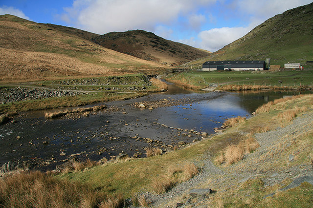
![]() Enjoy a cycle or walk along this large reservoir in the Cambrian Mountains. There is a good track running along the northern shore of the lake which makes for a nice traffic free cycle or walk. It runs for about 6 miles starting at the Claerwen Dam car park. There are lovely views across the water to the surrounding hills and countryside.
Enjoy a cycle or walk along this large reservoir in the Cambrian Mountains. There is a good track running along the northern shore of the lake which makes for a nice traffic free cycle or walk. It runs for about 6 miles starting at the Claerwen Dam car park. There are lovely views across the water to the surrounding hills and countryside.
If you would like to extend your exercise in the area then you could visit the other reservoirs in the Elan Valley by heading south along the River Claerwen to Caban Coch Reservoir where you can pick up the climb to Drygarn Fawr and other cycling and walking trails. You could also try the Teifi Pools Walk which starts from the nearby Strata Florida Abbey near Pontrhydfendigaid.
Postcode
LD6 5HF - Please note: Postcode may be approximate for some rural locationsClaerwen Reservoir Ordnance Survey Map  - view and print off detailed OS map
Claerwen Reservoir Open Street Map  - view and print off detailed map
Claerwen Reservoir OS Map  - Mobile GPS OS Map with Location tracking
Claerwen Reservoir Open Street Map  - Mobile GPS Map with Location tracking
Explore the Area with Google Street View 
Pubs/Cafes
The village of Pontrhydfendigaid is located a few miles west of the reservoir. Here you can visit the Red Lion and enjoy some post walk refreshments. It's a dog friendly pub with a good menu and garden to sit outside in. After your meal you could explore the little village and enjoy a stroll along the River Teifi which runs through the centre of Pontrhydfendigaid. You can find the pub close to the river on Bridge Street with a postcode of SY256BH for your sat navs.
Just to the east you will find the Elan Valley Visitor Centre next to Caban Coch Reservoir. Here you will find a nice cafe with a spacious seating area and windows all around to enjoy the wonderful view of the River Elan and Caban Coch Dam. There is also a patio area with picnic tables for people wishing to sit outside in fine weather. You can find it at postcode LD65HP.
Cycle Routes and Walking Routes Nearby
Photos
Claerwen Reservoir. This reservoir is the largest of the Elan Valley complex and supplies water to Birmingham and parts of Wales. It was opened by HM The Queen in 1952.
This pleasant stone footbridge links the eastern and western sides of the reservoir outflow. Claerwen is a gravity dam built of concrete onto bedrock, its strength coming from being able to match the weight of the water behind it, hence a 'gravity' dam. The stonework was incorporated into the design, at considerable expense, to help the dam blend into the landscape and harmonise with the Elan Valley reservoirs.
Bridge, Claerwen. A graceful, single-arch bridge carries the farm road over the Claerwen below the reservoir wall.
Outfall from Claerwen reservoir. A recent (late 1990s) addition to the Elan Valley Reservoir Works was a series of small hydro-electric plants. At Claerwen a 1680kw turbine was installed underground behind the stone revetment, the skylight roof of the buried powerhouse being just visible through the railings. The exhaust water exits at this point.


