Claverdon Walks
![]()
![]() This attractive Warwickshire based village lies just to the east of Henley in Arden.
This attractive Warwickshire based village lies just to the east of Henley in Arden.
It's a historic place with several 16th and 17th century half-timbered cottages and a noteworthy church which includes an English Gothic architecture bell tower dating back to the 15th century.
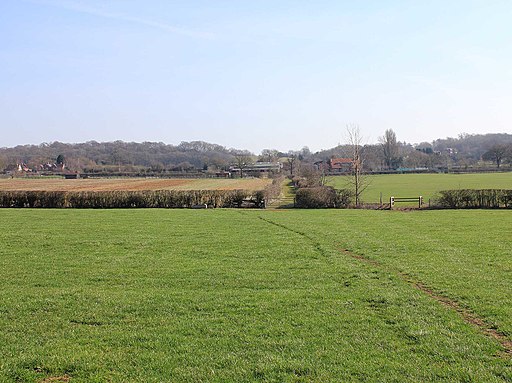
This circular walk from the village uses a mixture of country lanes and public footpaths to explore the surrounding countryside. On the way you will visit Claverdon Hall and the pleasant trails on Yarningdale Common.
From here you continue west to link up with the Stratford Upon Avon Canal where you can enjoy more easy waterside walking along the towpath.
To extend the walk you could head north to the Grand Union Canal via Pinley Green.
Claverdon Ordnance Survey Map  - view and print off detailed OS map
Claverdon Open Street Map  - view and print off detailed map
Claverdon OS Map  - Mobile GPS OS Map with Location tracking
Claverdon Open Street Map  - Mobile GPS Map with Location tracking
Walks near Claverdon
- Henley in Arden Circular Walk - This circular walk explores the villages, rivers, canals and countryside surrounding the charming town of Henley in Arden in Warwickshire
- Arden Way - This circular walk takes you on a tour of the beautiful Forest of Arden in Warwickshire
- Heart of England Way - Follow the Heart of England Way through the Midlands of England
- Stratford Upon Avon Canal - Enjoy waterside cycling and walking on this 26 mile canal which runs from Stratford Upon Avon to Birmingham
- Warwickshire Millennium Way - Follow the Millennium Way through the Warwickshire, Worcestershire and Northamptonshire countryside from Pershore to Middleton Cheney
- Monarch's Way - This incredible 615-mile walk approximates the escape route taken by King Charles II in 1651 after being defeated in the Battle of Worcester
- Earlswood Lakes - Enjoy a stroll along these three reservoirs and into the adjacent woodland on this lovely walk in Solihull
- Coughton Court - Explore the beautiful gardens of the Tudor Coughton Court, before a lovely waterside stroll along the River Arden on this walking route in Warwickshire
- Tanworth-in-Arden - This pretty Warwickshire based village is located near Earlswood and Redditch.
- Edstone Aqueduct - This circular walk visits the Edstone Aqueduct on the Stratford Upon Avon Canal in Warwickshire
- Studley Castle - This walk visits the 19th century Studley Castle in Warwickshire
- Lowsonford - This Warwickshire based village is located in a pleasant rural spot on the Stratford Upon Avon Canal
Photos
Claverdon Hall is a Grade II listed part half-timbered country house thought to date back to the 17th century. The village's named comes from the Old English for 'clover hill'.
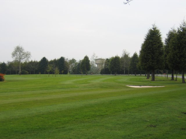
Lye Green. Looking across the golf course in front of the Ardencote Hotel with the water tower at Lye Green in the trees


