Coledale Horseshoe Walk
![]()
![]() This popular circular walk explores Coledale, a spectacular hanging valley in the Lake District. The challenging route visits several of the Wainright peaks to the west of the settlement.
This popular circular walk explores Coledale, a spectacular hanging valley in the Lake District. The challenging route visits several of the Wainright peaks to the west of the settlement.
The walk starts from the village of Braithwaite in the northern lakes. From here head west to climb to Sleet How and Grisedale Pike which stands at 791 m (2593 feet).
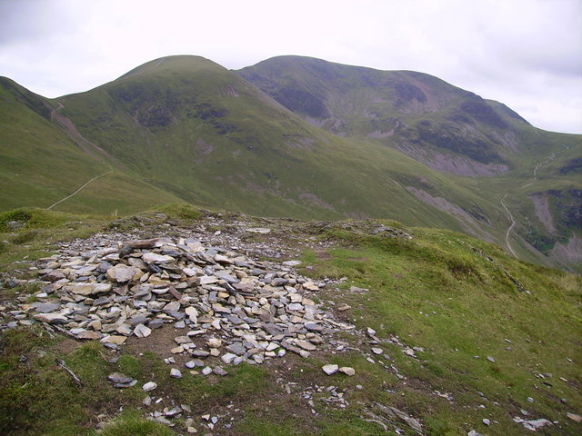
You continue west to Hopegill Head before turning south through Coledale Hause to Sand Hill and then on to Crag Hill.
There you turn east to Sail, Outerside and High Coledale before returning to Braithwaite.
You could extend your exercise by enjoying easier waterside walks along the Newlands Beck and the Coledale Beck in the valley. There's also the Force Crag Mine where you can explore the old mineral workings which are thought to date back to the 16th century. You can access this area by following an alternative footpath east from Eel Crag.
See below for a route video and the gpx file for the route.
Coledale Horseshoe Ordnance Survey Map  - view and print off detailed OS map
Coledale Horseshoe Open Street Map  - view and print off detailed map
Coledale Horseshoe OS Map  - Mobile GPS OS Map with Location tracking
Coledale Horseshoe Open Street Map  - Mobile GPS Map with Location tracking
Cycle Routes and Walking Routes Nearby
Photos
On Hopegill Head Looking down the trench of Gasgale towards Crummock Water


