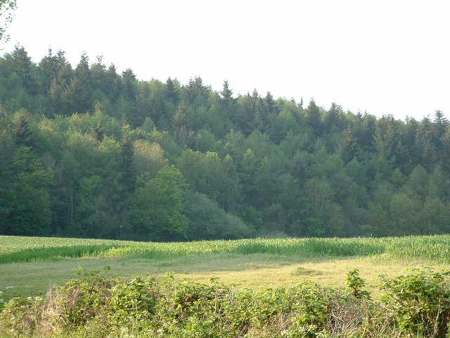
Credenhill Woods
![]()
![]() Follow the trails around Credenhill Park Wood on this easy walk in Herefordshire. The woods are located just to the north of the village and include an Iron Age hill fort.
Follow the trails around Credenhill Park Wood on this easy walk in Herefordshire. The woods are located just to the north of the village and include an Iron Age hill fort.
You can start the walk from the car park at the south eastern corner of the woods. Then pick up the waymarked trails heading north into the woods. There's lots of interesting flora to see with early purple orchid, wild garlic, herb-paris and bluebells in the spring. The variety of trees include oak, ash, beech, field maple, small-leaved lime and wych elm. Also look out for wildlife including buzzards, various woodland birds and the three types of deer which inhabit the site.
You can also climb to the large hill fort whose defences follow the 600 ft contour and enclose nearly 50 acres. They comprise an embankment and ditch with a slight counter-scarp bank. Archaeological digs exposed storage pits and other remains of occupation including pottery with stamped and incised patterns typical of the West Midlands Iron Age. You can see some of the finds in the Hereford Museum.
The Wye Valley Walk long distance trail passes Credenhill to the south. You could pick up the trail to continue your walking in the area.
Heading west will take you to Bishopstone, Byford and Garnons Hill Woods. If you follow the trail south east it will take you into Hereford where you can visit the 11th century cathedral and the site of the old castle.
Credenhill Woods Ordnance Survey Map  - view and print off detailed OS map
Credenhill Woods Open Street Map  - view and print off detailed map
Credenhill Woods OS Map  - Mobile GPS OS Map with Location tracking
Credenhill Woods Open Street Map  - Mobile GPS Map with Location tracking
Further Information and Other Local Ideas
Head north west and you could visit the delightful village of Weobley where you can see the historic Norman church, several photogenic medieval dwellings and The Ley, a Grade-I listed farmhouse dating to 1589. The Black and White Village Trail can also be picked up here. This long distance footpath explores several of the towns and villages of the county. It's named after the wonderful old timber framed buildings which are typical of the area.
For more walking ideas in the area see the Herefordshire Walks and the Wye Valley Walks page.
Cycle Routes and Walking Routes Nearby
Photos
Credenhill Court, located on the southern edge of the woods. Pevsner describes Credenhill Court as 'built, according to Duncomb, in 1760. Of five bays and three storeys. Red brick, central Venetian window. Parapet and giant angle pilasters.' These days the court is a residential care home for the elderly.


