Crosshaven Cliff Walk
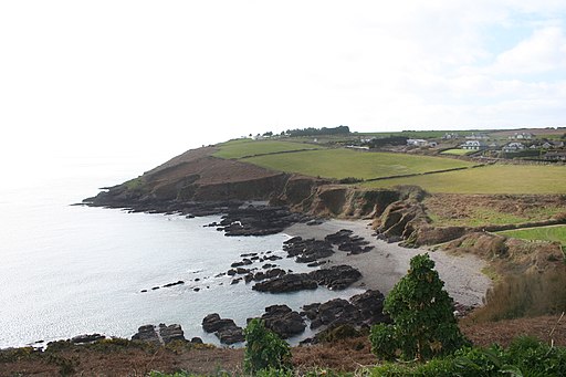
![]() This circular walk takes you along the wonderful cliff top path in the village of Crosshaven in County Cork.
This circular walk takes you along the wonderful cliff top path in the village of Crosshaven in County Cork.
The loop walk runs for just over 5km along a fairly flat trail. On the way there are glorious sea views over Cork Harbour and a visit to an coastal historic fort.
The walk starts off in Crosshaven village and heads north east toward Camden Fort Meagher which was built to defend the mouth of Cork Harbour. You can explore this 16th century coastal stronghold that includes underground tunnels and an interesting World War I exhibition.
The trail continues south past Grab All Bay and Weaver Point before coming to Church Bay Beach on Poulnacallee Bay. The final section then follows quiet roads inland to return to the village.
To continue your coastal walking in the area head south west to try the popular Old Head of Kinsale Loop.
Crosshaven Cliff Walk Open Street Map  - view and print off detailed map
Ireland Walking Map - View All the Routes in the Country>>
Crosshaven Cliff Walk Open Street Map  - Mobile GPS Map with Location tracking
Further Information and Other Local Ideas
To see another historic fort head to the nearby Charles Fort. The National Monument of Ireland dates back to the 17th century and includes good footpaths to follow around the Bastions. There's also some excellent views over Kinsale harbour and exhibitions where you can learn all about the history of the area.
To the north there's the 13th century Blarney Castle to explore. The ancient castle is surrounded by some beautiful grounds and gardens with miles of footpaths to enjoy.
To the northwest there's the circular Cork Marina Walk where you can enjoy fine views over the River Lee and a visit to the 16th century Blackrock Castle.
Cycle Routes and Walking Routes Nearby
Photos
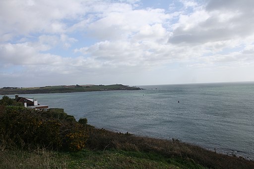
Mouth of Cork Harbour. Looking east from Church Bay (the Crosshaven side) towards the lighthouse at Roche's Point. On the right (south) is Ringabella Bay, on the left (north) is Lough Beg.


