Denge Wood
![]()
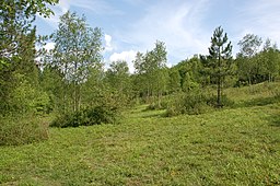
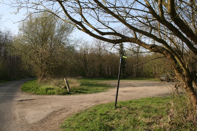
![]() These attractive woods are located a few miles west of Canterbury, near the delightful village of Chilham, and on the dip slope of the North Downs and the Kent Downs AONB. There are miles of footpaths to follow around the site with a wide variety of flora and fauna to look out for on the way.
These attractive woods are located a few miles west of Canterbury, near the delightful village of Chilham, and on the dip slope of the North Downs and the Kent Downs AONB. There are miles of footpaths to follow around the site with a wide variety of flora and fauna to look out for on the way.
This circular walk starts from Chilham where there is a train station just to the east of the village. From here you can follow footpaths south over the River Great Stour to the expansive woods. The site includes a number of different type of orchid and are an important habitat for nesting and migratory birds including the nightingale, chiffchaff, and spotted flycatcher. You may also see fallow deer and roe deer if you are fortunate.
There's great scope for continuing your walk if you have time. Eggringe Woods are located just to the south of Denge Woods. There's also a small car park here if you wished to start your walk from an alternative location.
The waymarked Stour Valley Walk skirts the northern edge of the woods. You could pick up the trail and follow waterside trails to the lovely Chilham Lake where there is a beauitful old watermill. The North Downs Way also passes nearby and is a great way of exploring the surrounding countryside on a well maintained path.
Denge Wood Ordnance Survey Map  - view and print off detailed OS map
Denge Wood Open Street Map  - view and print off detailed map
Denge Wood OS Map  - Mobile GPS OS Map with Location tracking
Denge Wood Open Street Map  - Mobile GPS Map with Location tracking
Further Information and Other Local Ideas
If you head a couple of miles north west of Chilham there's more woodland trails in Perry Woods. There's some fine ancient woodland and the climb to the splendid Pulpit viewpoint to enjoy here. From here there's great views over the Thames Estuary, North Downs and the Isle of Thanet.
A few miles to the south west there's miles of walking and cycling trails in King's Wood. The woods are also home to a fine sculpture trail, bluebells in the spring and wildlife including deer and green woodpeckers.


