Derby Canal
![]()
![]() Follow the Derby canal from the centre of the city to the Trent and Mersey Canal at Swarkestone. The flat path runs for about 6 miles and is suitable for cyclists or walkers.
Follow the Derby canal from the centre of the city to the Trent and Mersey Canal at Swarkestone. The flat path runs for about 6 miles and is suitable for cyclists or walkers.
The route starts in the city centre and follows the River Derwent past Pride Park football stadium and The Sanctuary Bird and Wildlife Reserve. You then come to Alvaston Park where you turn south away from the river, following the path through the suburbs of Allenton, Boulton and Shelton Lock. At Swarkestone Lock the canal ends, meeting with the Trent and Mersey Canal. You can extend your exercise by heading east or west along the canal.
You could also continue south along the Cloud Trail to Worthington.
Another good option is to continue following the river east at Alvaston Park and head to Elvaston Castle Country Park. It's only a couple of miles away and has a lovely lake and nice woodland trails to try. Just to the north of the canal there's nice riverside walks through the popular Darley Abbey Park.
Derby Canal Ordnance Survey Map  - view and print off detailed OS map
Derby Canal Open Street Map  - view and print off detailed map
Derby Canal OS Map  - Mobile GPS OS Map with Location tracking
Derby Canal Open Street Map  - Mobile GPS Map with Location tracking
Further Information and Other Local Ideas
Just to the north east of the city you can pick up the Great Northern Greenway. This shared cycling and walking trail runs along the trackbed of the old Great Northern Railway which closed in the 1960s. It now makes for a nice easy cycle or walk and can be picked up from close to the Meteor Shopping Centre.
Cycle Routes and Walking Routes Nearby
Photos
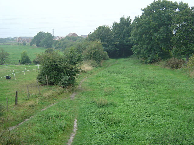
View west from Ullicker's bridge showing the filled in bed of the Canal. There is a public footpath along virtually the whole length of the Canal
Swarkestone on the Trent & Mersey Canal. The short arm on the left lead to the Derby Canal, the first bridge of which can just be seen.


