Derry Walls Walk
![]() This walk takes you along the historic walls in the city of Londonderry. Derry is noteworthy as the only remaining completely walled city in Ireland and one of the finest examples of a European Walled City. The Walls were built from 1613-1618 by the Irish Society as defences for early 17th century settlers from England and Scotland.
This walk takes you along the historic walls in the city of Londonderry. Derry is noteworthy as the only remaining completely walled city in Ireland and one of the finest examples of a European Walled City. The Walls were built from 1613-1618 by the Irish Society as defences for early 17th century settlers from England and Scotland.
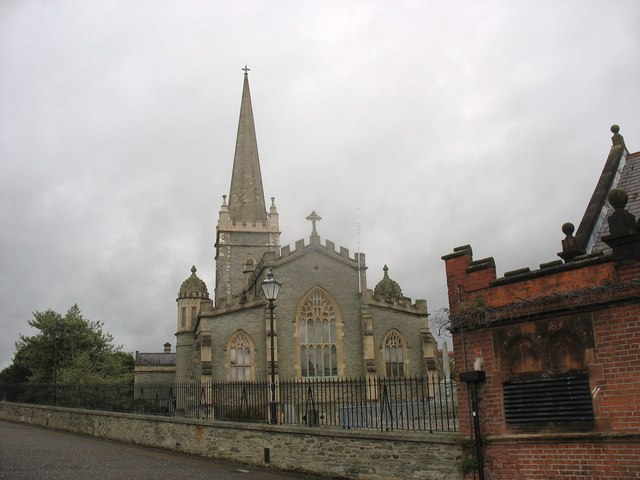
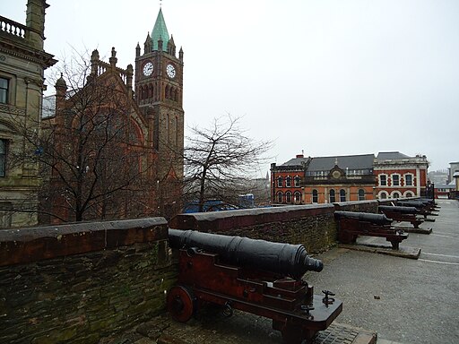
You can follow an elevated path along the Ramparts which provides some excellent views over the city. The trail runs for about a mile taking you past a series of signifcant historical sites including the cannons at the Double Bastion and the 17th century St Columb's Cathedral.
Please click here for more information
Derry Walls Open Street Map  - view and print off detailed map
Derry Walls Open Street Map  - Mobile GPS Map with Location tracking
Walks near Londonderry
- Foyle Valley - This scenic cycle ride takes you from Londonderry to Strabane, through the beautiful valley of the River Foyle.
- Mussenden Temple - This circular walk visits the precariously positioned Mussenden Temple in Castlerock, County Londonderry.
- Roe Valley Country Park - Enjoy a waterside walk along the River Roe in this country park near Limavady
- Banagher Glen - Follow the riverside trail through these ancient oak woodlands and look out for red squirrels on this walk through the beautiful Banagher Glen Nature Reserve
Further Information and Other Local Ideas
The walls themselves, varying in width from 12 to 35 feet, stand as Ireland's most intact fortification and rank among Europe's premier examples of walled cities. This city is distinguished by having Europe’s largest collection of cannon whose origins are precisely documented, many of which were actively used during the two sieges in the seventeenth century.
In 2005, a restoration project was undertaken for the surviving 24 cannon. Craftsmen, under expert guidance and primarily using manual techniques, meticulously cleared the cannon barrels of centuries' worth of debris, removed old paint and rust, and applied treatments to return them to their original condition. These cannon are now proudly displayed along The Derry Walls, with the formidable Roaring Meg positioned on the double bastion, symbolizing the city's rich history and resilience.
To continue your walking in the area head west to the lovely Inch Island at Lough Swilly in County Donegal. Here you can try the loop walk at the Inch Wildfowl Reserve and look out for a wide variety of wildlife on the water.
Head north along the coast and you could pick up the Moville Shore Walk and visit Ballybrack Beach. This fine coastal walk takes you from Moville to Greencastle with glorious views across Lough Foyle to enjoy on the way.
Photos
The top of Nailors Row from the Double Bastion Nailors Row climbing up from the Bogside joins Bishop Street (Without) at Bishop's Gate. The gate can be seen on the left. On the other side of Bishop Street and protected by a high security fence and by CCTV cameras is the Loyalist enclave of the Fountain Estate.


