Dyffryn Ardudwy
![]()
![]() This North Wales village sits in a lovely position on the edge of the Snowdonia National Park and only a short walk from the coast.
This North Wales village sits in a lovely position on the edge of the Snowdonia National Park and only a short walk from the coast.
This walk from the village takes you to the beautiful Morfa Dyffryn Nature Reserve.
The walk starts from the fascinating Dyffryn Ardudwy Burial chamber in the village. The ancient site includes a number of photogenic dolmen and a hut circle. There is a small parking area near the chamber at the chapel where you can pick up some pleasant paths around the 6000 year old site.
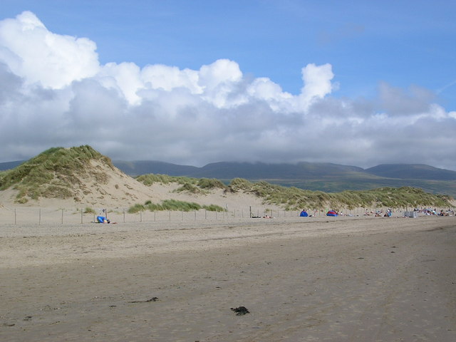
After exploring the stones you can then follow country lanes to the coast and the Morfa Dyffryn Nature Reserve. There's a beautiful beach here with extensive tall sand dunes and a large variety of coastal wildlife to look out for. The area also includes the lagoons at Shell Island and fantastic views of the Rhinog Mountains.
Dyffryn Ardudwy Ordnance Survey Map  - view and print off detailed OS map
Dyffryn Ardudwy Open Street Map  - view and print off detailed map
Dyffryn Ardudwy OS Map  - Mobile GPS OS Map with Location tracking
Dyffryn Ardudwy Open Street Map  - Mobile GPS Map with Location tracking
Walks near Dyffryn Ardudwy
- Harlech - This town on the edge of the Snowdonia National Park has some lovely coastal footpaths to try
- Rhinog Fawr - Visit the Rhinogs range of mountains in the Snowdonia National Park and climb Rhinog Fawr on this challenging walk
- Taith Ardudwy Way - This walk takes you through the Snowdonia National Park from Barmouth, on the Mawddach Estuary, to Llandecwyn
- Panorama Walk Barmouth - A classic circular walk around Barmouth climbing above the town for magnificent views over the Mawddach estuary and the Snowdonia National Park
- Llanbedr - The Gwynedd village of Llanbedr is in a great location on the edge of the Snowdonia National Park and close to some beautiful coast, riverside trails and a scenic river estuary.
- Llyn Cwm Bychan - Enjoy a short walk or cycle along this pretty lake in the Rhinogs
- Dinas Oleu - This walk climbs to a hill fort and lovely viewpoint above the town of Barmouth
- Barmouth to Fairbourne - Enjoy fabulous views of the Mawddach estuary and Barmouth Bay on this popular walk from Barmouth to Fairbourne
- Nantcol Waterfalls Walk - This circular walk explores the beautiful Nantcol Waterfalls in Snowdonia in North Wales.
- Llwyngwril - This coastal village is located in a lovely spot just south of Dolgellau, Barmouth and Fairbourne on the edge of the Snowdonia National Park
Further Information and Other Local Ideas
To continue your walking in the area you could head a few miles north to visit the neighbouring village of Llanbedr. Here you can pick up the Llanbedr Walk which will take you to the lovely River Artro Estuary and the Llandanwg Sand Dunes. Just to the east of the village is something of a hidden gem at the wonderful Nantcol Waterfalls. The area includes pleasant trails along the River Cwmnantcol with a series of rushing waterfalls to see along the way. There's also a circular walk around a small reservoir, just west of the falls.
For more walking ideas in the area see the Snowdonia Walks
Photos
The Dyffryn Burial Chambers. Dating from around 4000 BC, the cairn at Dyffryn Ardudwy has two separate burial chambers


