Eastnor Deer Park
![]()
![]() This walk follows a section of the Geopark Way long distance trail through the beautiful Eastnor Deer Park. The 300 acre park includes hill climbs, woodland, ponds, lovely countryside and a herd of Red Deer.
This walk follows a section of the Geopark Way long distance trail through the beautiful Eastnor Deer Park. The 300 acre park includes hill climbs, woodland, ponds, lovely countryside and a herd of Red Deer.
Starting in Eastnor village follow the footpath east and you will come to the southern end of the Malvern Hills. The route then climbs to Midsummer Hill and Hollybush Hill where there are fantastic views over the park to Eastnor Castle and lake. This section also visits an unusual Iron Age Hillfort as its ramparts enclose two hills and the intervening valley. It dates from 390 BC and it is thought that the settlement was occupied by 1500 people until it was destroyed by fire in AD 48. You can follow various woodland paths round the hills before picking up a section of the Worcestershire Way and heading north to return to the deer park. Follow the same path back to Eastnor where on certain open days you can visit the 19th century mock castle. For a fee you can explore the grounds where there are nice footpaths taking you to the arboretum and lake. Watch the video below to see the beautiful grounds.
If you wanted to extend your walk you could head north from Misummer Hill to Herefordshire Beacon and further explore the Malvern Hills. Following the Geopark Way south from the hill will take you through the Bromsberrow Estate in the Forest of Dean area of Gloucestershire.
Please click here for more information
Eastnor Deer Park Ordnance Survey Map  - view and print off detailed OS map
Eastnor Deer Park Open Street Map  - view and print off detailed map
Eastnor Deer Park OS Map  - Mobile GPS OS Map with Location tracking
Eastnor Deer Park Open Street Map  - Mobile GPS Map with Location tracking
Cycle Routes and Walking Routes Nearby
Photos
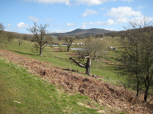
Eastnor Park pond. From the footpath looking north-east across the deer park with the Herefordshire Beacon in the distance.
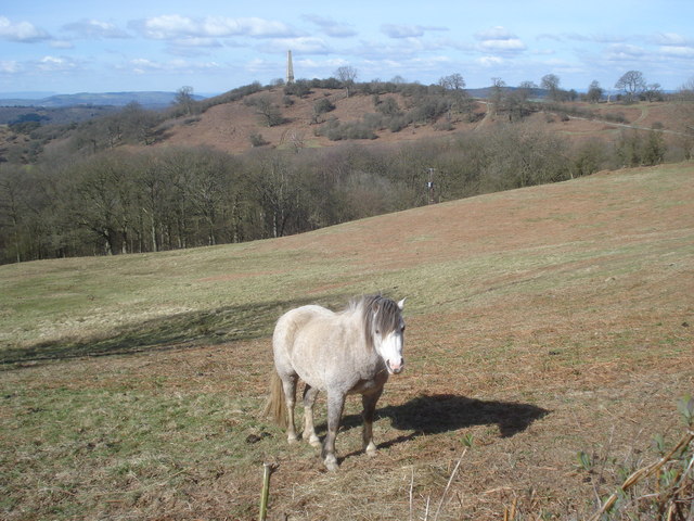
Horse paddock near the Somers Obelisk. View west to the obelisk from the Midsummer Hill track. Castle Coppice in the dell between the pony and the obelisk.


