Erddig Walks Map
![]()
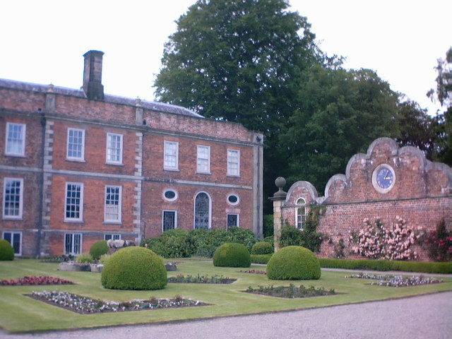
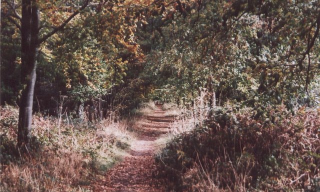
![]() Explore the 1,200-acre country park surrounding the 18th century Erddig Hall in Wrexham. You can enjoy a riverside stroll along the River Clywedog, visit the 13.5-acre walled garden with fruit trees and water features before exploring the huge parkland, rolling farmland and woodland areas. Cyclists can also enjoy the park with a particularly lovely trail running along the river.
Explore the 1,200-acre country park surrounding the 18th century Erddig Hall in Wrexham. You can enjoy a riverside stroll along the River Clywedog, visit the 13.5-acre walled garden with fruit trees and water features before exploring the huge parkland, rolling farmland and woodland areas. Cyclists can also enjoy the park with a particularly lovely trail running along the river.
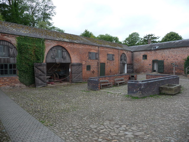
You can also tour the impressive Erddig Hall with its grand rooms, furniture and gallery. There are a number of interesting outbuildings with stables, a smithy, a joiners' shop and a sawmill too.
Please click here for more information
Erddig Hall and Country Park Ordnance Survey Map  - view and print off detailed OS map
Erddig Hall and Country Park Open Street Map  - view and print off detailed map
*New* - Walks and Cycle Routes Near Me Map - Waymarked Routes and Mountain Bike Trails>>
Erddig Hall and Country Park OS Map  - Mobile GPS OS Map with Location tracking
Erddig Hall and Country Park Open Street Map  - Mobile GPS Map with Location tracking
Dog Walking
The parkland is a great place for a dog walk and you'll probably see plenty of other owners on a fine day. There are some areas with livestock so please keep them on a lead here.
Further Information and Other Local Ideas
To continue your walking in the area pick up the Wat's Dyke Way Heritage Trail. The waymarked trail passes the park and offers a good opportunity for exploring the surrounding area.
The Clywedog Trail also skirts the northern edge of the path. The trail will take you along the Clywedog River visiting the Nant Mill and Bersham Waterfall and peaceful woodland trails. At the end of the trail you could also visit the nearby Minera Lead Mines and Quarry. Here you can learn all about the fascinating industrial past of the area at the mining museum.


