Esholt Woods
![]()
![]() Enjoy walks and mountain bike trails in these woods in the village of Esholt near Shipley. There's a car park at the western end of the woods, just north of the village. From here you can pick up the trails heading east through Jerrison Wood and Spring Wood. For mtb riders there's some nice short trails with jumps, berms and one or two technical features to try. Other highlights include pretty bluebells in the spring and a path along the Guiseley Beck in the eastern end of the woods.
Enjoy walks and mountain bike trails in these woods in the village of Esholt near Shipley. There's a car park at the western end of the woods, just north of the village. From here you can pick up the trails heading east through Jerrison Wood and Spring Wood. For mtb riders there's some nice short trails with jumps, berms and one or two technical features to try. Other highlights include pretty bluebells in the spring and a path along the Guiseley Beck in the eastern end of the woods.
The River Aire and the Leeds and Liverpool Canal run just to south of the woods so you could pick up the walking and cycling trails along these waterways to extend your exercise.
A few miles west of the woods you will find Baildon Moor which has miles of cycling and walking trails.
It also commands great views of Bradford and Leeds from its elevated position.
Postcode
BD17 7QT - Please note: Postcode may be approximate for some rural locationsEsholt Woods Ordnance Survey Map  - view and print off detailed OS map
Esholt Woods Open Street Map  - view and print off detailed map
Esholt Woods OS Map  - Mobile GPS OS Map with Location tracking
Esholt Woods Open Street Map  - Mobile GPS Map with Location tracking
Pubs/Cafes
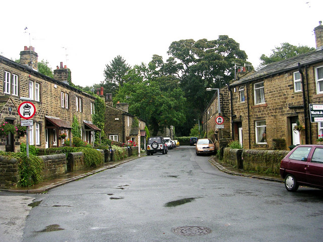
On the western side of the woods you can enjoy a stroll around Esholt village. There's some pretty old cottages, a historic church, pleasant riverside walks and the Woolpack Pub to visit. The village is famous for being the original setting for Emmerdale with the Woolpack used as the local frequented by the characters. The charming interior includes photographs depicting characters from the soap and scenes of the village from days gone by. They serve good quality pub grub and also have a garden area for warmer weather. You can find them on the Main Street at postcode BD17 7QZ for your sat navs.
Dog Walking
The woodland trails make for a fine dog walk but do be mindful of the cyclists on some of the paths. The Woolpack mentioned above is also dog friendly.
Further Information and Other Local Ideas
To the west of the woods there's one of the highlights of the area at the Bingley St Ives estate. There's 500 acres of woodland, parkland and gardens to explore here.
For more walking ideas in the area see the Yorkshire Dales Walks and the Nidderdale Walks pages.


