Esthwaite Water Walk
![]()
![]() Enjoy a short stroll down to Esthwaite Water from the village of Hawkshead on this easy walk in the Lake District. Esthwaite is one of the less well known lakes of the national park. It's also one of the smaller ones, covering around 280 acres (1.1 km2). Esthwaite is well known for its trout and pike fishing.
Enjoy a short stroll down to Esthwaite Water from the village of Hawkshead on this easy walk in the Lake District. Esthwaite is one of the less well known lakes of the national park. It's also one of the smaller ones, covering around 280 acres (1.1 km2). Esthwaite is well known for its trout and pike fishing.
Starting in the centre of the village you can follow footpaths and country lanes south and then east to the water's edge. There's a good sized car park and lots of nice cafes in Hawkshead where the route starts.
The walk starts from St Michael and All Angels Church in the village and picks up a footpath heading south from there. This takes you to Roger Ground where you turn east on a country lane towards the lake. You'll pass the Waterside House B&B before coming to the lake. There's lovely views across the lake to the surrounding fells. Also look out for the resident Ospreys diving for fish on the water.
To extend your walking in the area you can enjoy a climb to Latterbarrow from Hawkshead. From the summit there are great views over Esthwaite Water and Lake Windermere.
On the western side of Esthwaite, there's the expansive Grizedale Forest which has miles of good cycling and walking trails.
On the eastern side of the water you can enjoy a climb to Claife Heights and the pretty Moss Eccles Tarn.
Esthwaite Water Ordnance Survey Map  - view and print off detailed OS map
Esthwaite Water Open Street Map  - view and print off detailed map
Esthwaite Water OS Map  - Mobile GPS OS Map with Location tracking
Esthwaite Water Open Street Map  - Mobile GPS Map with Location tracking
Pubs/Cafes
The 17th century Sun Inn in Hawkshead is a popular option for walkers. They do really good food including an excellent fish and chips. It's a friendly place and can be easily found in the village on Main Street with a postcode of LA22 0NT for your sat navs. The inn also provides good quality accommodation and is very dog friendly if you have your pet with you.
Cycle Routes and Walking Routes Nearby
Photos
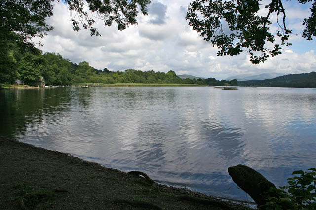
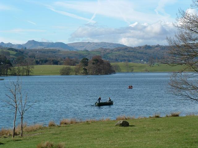
On the shores of the lake in the summer. Looking north from the Hawkshead Trout Fishery carpark. Esthwaite Water is the largest stocked lake in the North West of England and is 280 acres in size. According to the Fishery web site the largest fish caught are as follows: largest rainbow trout 16lb 3oz; largest brown trout 10lb 13oz; largest pike 39lb 8oz. The fishery boat hire, tackle shop and farm shop are on the left. The mountains in the far distance are, on the left Black Fell (323 metres above sea level) and on the right the range that includes Helvellen (950 metres), Fairfield (873 metres) and Rydal Fell (615 metres). The height of Esthwaite Water is nearly 70 metres above sea level.
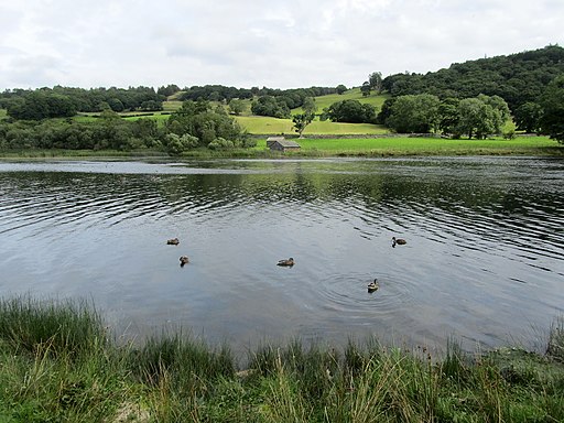
Looking towards Near Sawrey from the Hawkshead Trout Fishery carpark at the southern end of the lake.


