Exeter Green Circle
11.8 miles (19 km)
![]()
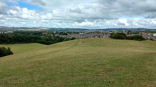
![]() This 12 mile circular walk explores the city of Exeter visiting several attractive green spaces, including the parks, the river and the surrounding countryside.
This 12 mile circular walk explores the city of Exeter visiting several attractive green spaces, including the parks, the river and the surrounding countryside.
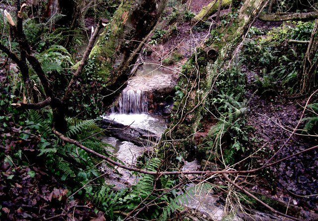
On the route you will pass along the valley of the Alphin Brook and the village of Alphington.
Other highlights include some lovely scenery in the Hoopern Valley, Mincinglake Valley Park and The Ludwell Valley.
The route links up with the Exeter Canal and the Exeter Circular Walk so its easy to extend your walking in the city.
Please click here for more information


