Eyemouth to St Abbs Walk
![]()
![]() This walk from the settlement follows a section of the Berwickshire Coastal Path to neighbouring St Abbs Head. It's about a 5 mile hike to the headland, so roughly 10 miles there and back.
This walk from the settlement follows a section of the Berwickshire Coastal Path to neighbouring St Abbs Head. It's about a 5 mile hike to the headland, so roughly 10 miles there and back.
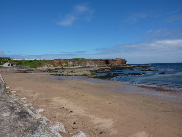
The walk starts at the picturesque Eyemouth Harbour where you can pick up the Berwickshire Coastal Path and follow it north west to Hairy Ness, Killiedraught Bay, Linkim Kip and Coldingham Bay before coming to the village of St Abbs.
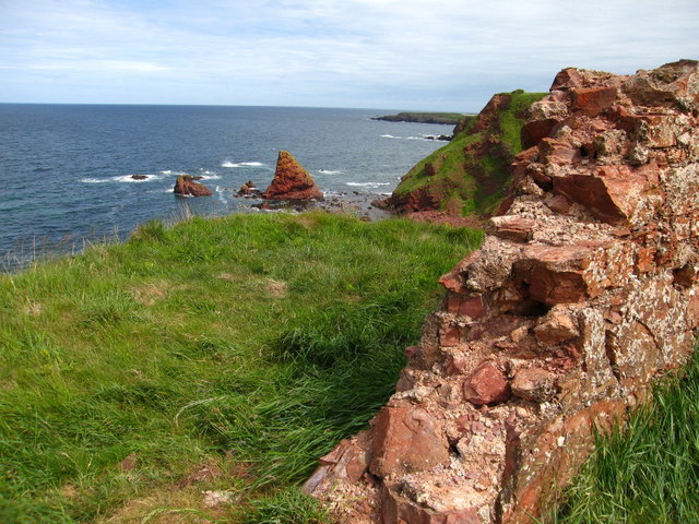
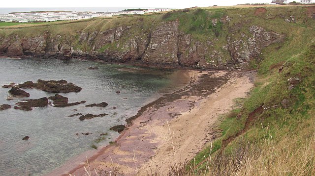
The route then continues north past Starney Bay, Halterem's Loup, Wuddy Rocks, Burnmouth Harbour and Horncastle Bay before coming to St Abbs Head. There's a wonderful viewpoint here and lots of wildlife to look out for. Keep your eyes peeled for Guillemots, Kittiwakes, Puffins, Razorbills and even dolphins as you make your way along the cliff path.
Eyemouth to St Abbs Walk Ordnance Survey Map  - view and print off detailed OS map
Eyemouth to St Abbs Walk Open Street Map  - view and print off detailed map
Eyemouth to St Abbs Walk OS Map  - Mobile GPS OS Map with Location tracking
Eyemouth to St Abbs Walk Open Street Map  - Mobile GPS Map with Location tracking
Pubs/Cafes
Back in Eyemouth head to the Ship Inn for some post walk refreshment. The pub is in a great location overlooking the town's picturesque harbour. You can find them at postcode TD14 5HT for your sat navs.
Dog Walking
The cliff path makes for a good dog walk but some parts are very high so its best to keep them on leads/under close control here. The Ship mentioned above is also dog friendly.
Further Information and Other Local Ideas
In Eyemouth head to Gunsgreen House to find out about the town's smuggling history. The house was built in 1753 and includes a museum and a ‘tea chute’- the only one of its kind, where smuggled tea was hidden from prying eyes. You can find the house on Gunsgreen Quay, TD14 5SD.
The Coldingham Bay to St Abbs and Coldingham Loch Walk will take you on to the pretty Coldingham Loch and into the village of the same name.
Just west of St Abbs Head you'll find the historic Fast Castle. The photogenic ruins of the 14th century structure are located in a fine spot on a rocky headland overlooking the sea.
For some local history you could head west to Edin's Hall Broch where you can explore the remains of a 2nd century broch while enjoying some fine views over the area.
Cycle Routes and Walking Routes Nearby
Photos
Gunsgreen House Doocot. Overlooking Eyemouth Harbour and Gunsgreen House, this is an early 19th century doocot. It has battlements on 3 sides and inset blind crosslets on East and North sides. There is some suggestion that it may have been a cart shed. It is now residential., Eyemouth, Berwickshire, Scottish Borders, Scotland, Great Britain


