Foolow Walks
![]()
![]() This Derbyshire village lies just to the west of Eyam in the Peak District National Park.
This Derbyshire village lies just to the west of Eyam in the Peak District National Park.
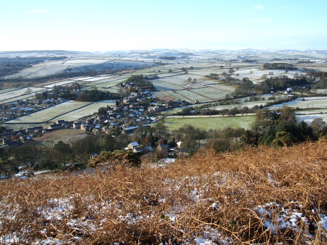
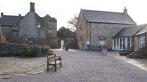
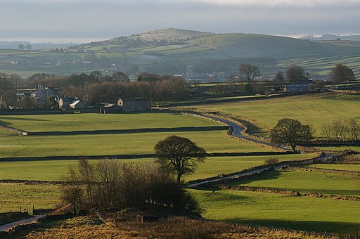
The picturesque settlement includes pretty limestone cottages, a village green, a pond and a fine local pub dating back to the mid 18th century. For walkers there's lots of good footpaths taking you out into the surrounding countryside of the White Peak.
This circular walk from Foolow takes you east to visit neighbouring Eyam. The historic 'Plague Village' is one of the highlights of the area with interesting old cottages and the 17th century Eyam Hall to see. There's also great views over the White Peak from the elevated position of Eyam Edge.
On the first section you will pass also pass the Swallet Waterfall. The secluded little spot contains the 2nd highest waterfall in the Peak District and lies just east of Foolow. You can see more details and photos on the Eyam Waterfall Walk page.
For more walks in the area scroll down to the list below.
Postcode
S32 5QR - Please note: Postcode may be approximate for some rural locationsFoolow Ordnance Survey Map  - view and print off detailed OS map
Foolow Open Street Map  - view and print off detailed map
Foolow OS Map  - Mobile GPS OS Map with Location tracking
Foolow Open Street Map  - Mobile GPS Map with Location tracking
Walks near Foolow
- Eyam Circular Walk - A circular walk around the Peak District village of Eyam, visiting Eyam Edge, Bretton Moor and the village of Foolow.
Starting from the village centre you head north to the Plague Stone and Bole Hill - Eyam - This popular village in the Derbyshire Dales has a fascinating history and some lovely walks to try
- Eyam Waterfall Walk - This walk from Eyam visits the Swallet Waterfall just to the west of the village
- Derwent Valley Heritage Way - Follow the River Derwent through the Derbyshire Peak District on this stunning walk
- Curbar Edge - This circular walk takes you along the spectacular Curbar Edge in the Peak District
- Padley Gorge Trail - Follow the Padley Gorge Trail through the stunning Hope Valley in the Peak District
- Longshaw Estate - The Longshaw Estate is a National Trust owned country park in Upper Padley in the Peak District
- Hathersage - The village of Hathersage is a popular base for walkers wishing to explore some of the highlights of the Peak District National Park
- Stoney Middleton - Enjoy a short walk through the pretty Coombs Dale on this route from the village of Stoney Middleton
- Froggatt Edge Circular Walk - Enjoy splendid views over the Dark Peak on this climb to the gritstone escarpment of Froggatt Edge
- Great Longstone - This Derbyshire Dales based village is a great base for exploring some of the Peak District's highlights
Pubs/Cafes
The Bulls Head is a fine place to refresh yourself after your exercise. They serve good quality food which you can enjoy in their oak-panelled dining room. There's also outdoor seating with a nice view of the village. You can find them at postcode S32 5QR for your sat navs.
The pub is dog friendly too.


