Great Dun Fell Walk Map
![]()
![]() This walk takes you to the second-highest hill in the Pennines, and makes use of Britain's highest road. The fell includes some bridleways and country lanes so much of the route is suitable for cycling as well.
This walk takes you to the second-highest hill in the Pennines, and makes use of Britain's highest road. The fell includes some bridleways and country lanes so much of the route is suitable for cycling as well.
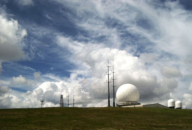
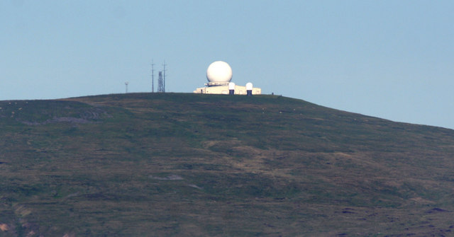
You start in the village of Dufton and follow the Pennine Way along Hurning Lane to Cosca Hill where you cross Great Rundale Beck. You continue the ascent, crossing Swindale Beck and passing a series of Cairns before arriving at Green Fell. Here you turn left and head to the summit of Great Dun Fell where you will find a a large radar station at the 848 m (2,782 ft) high point. There are also wonderful views across the Eden Valley, Cross Fell and North Pennines AONB.
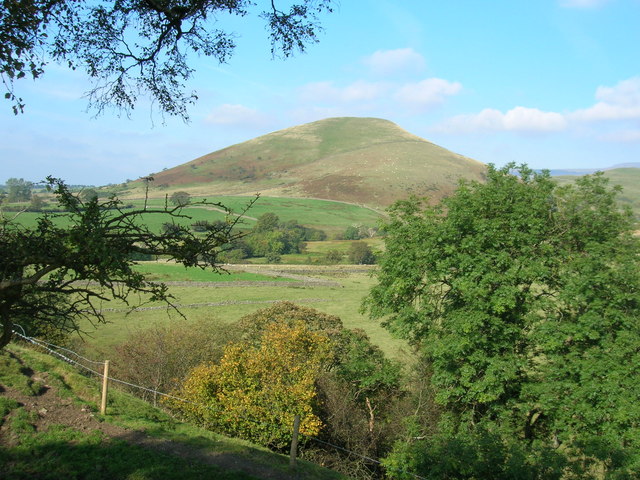
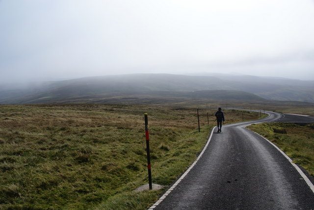
From the summit you descend on Britain's highest road which takes you all the way to Knock Village, passing Green Castle and Knock Pike on the way. The final section follows a country lane from Knock to the finish point at Dufton.
The complete route below is designed for walkers but Great Dun is a very popular climb for cyclists as you can make use of the tarmac road that runs from Knock to the summit (it is essentially the descent section of this route). It is considered by many cyclists to be the greatest climb in Britain. Click here for the gpx file which just includes the tarmac road climb for cyclists. Also see the video below to see what you can expect!
If you're looking to continue your walking in the area then you could climb Cross Fell - the highest hill in the country, outside of the Lake District. Also nearby is the lovely Cow Green Reservoir and Cauldron Snout waterfall. You can also visit High Cup Nick waterfall set in a spectacular glacial valley.
Great Dun Fell Ordnance Survey Map  - view and print off detailed OS map
Great Dun Fell Open Street Map  - view and print off detailed map
*New* - Walks and Cycle Routes Near Me Map - Waymarked Routes and Mountain Bike Trails>>
Great Dun Fell OS Map  - Mobile GPS OS Map with Location tracking
Great Dun Fell Open Street Map  - Mobile GPS Map with Location tracking
Pubs/Cafes
After your walk head to the Stag Inn in Dufton for some well earned refreshments (Postcode:CA16 6DB). The rustic country inn was built in 1703 and includes solid oak beams. It's in a lovely spot overlooking the village green and is very walker friendly. There's a good menu and accommodation is also available if you need to stay over.
Cycle Routes and Walking Routes Nearby
Photos
Great Dun Fell. A dramatic sky makes an appropriate backdrop for the strange structures on the summit. The big globe is the Civil Aviation Radar. A tarmac road extends all the way to the summit at 848 metres (about 2760 feet).


