Great Massingham Walks
![]()
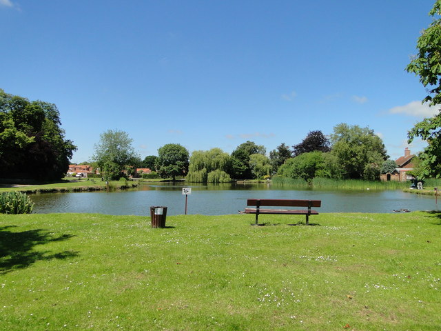
![]() This attractive Norfolk village includes a pretty pond, picturesque cottages, a village green and a fine old church.
This attractive Norfolk village includes a pretty pond, picturesque cottages, a village green and a fine old church.
This walk from the village follows a section of the Peddars Way and Norfolk Coast Path National Trail to one of the historic local highlights at Castle Acre Priory.
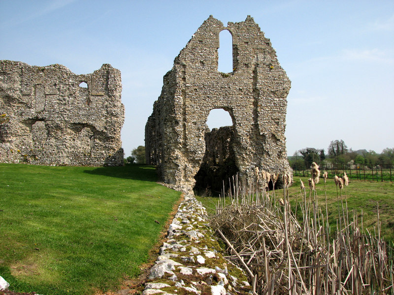
The walk starts in the village and heads south west to link up with the Peddars Way and Norfolk Coast Path around Massingham Heath. Follow the waymarked trail south for just over 4 miles and it will take you to Wicken Fen and Castle Acre. Here you can visit the castle and priory which date from the 11th century. You can also enjoy a waterside walk along the River Nar on the Nar Valley Way, another long distance trail running through this part of the county.
Postcode
PE32 2HN - Please note: Postcode may be approximate for some rural locationsPlease click here for more information
Great Massingham Ordnance Survey Map  - view and print off detailed OS map
Great Massingham Open Street Map  - view and print off detailed map
Great Massingham OS Map  - Mobile GPS OS Map with Location tracking
Great Massingham Open Street Map  - Mobile GPS Map with Location tracking
Walks near Great Massingham
- Castle Acre - This lovely circular walk takes you around the grounds of Castle Acre Priory, before heading along the River Nar to the nearby Castle Acre Common
- Nar Valley Way - Follow the River Nar from King's Lynn to Gressenhall on this delightful waterside walk through Norfolk.
The walk passes Shouldham, West Acre and Litcham following footpaths and country lanes close to or beside the River Nar.
Walk highlights include Pentney Abbey, Pentney Lakes, West Acre Priory and Castle Acre castle and priory - Castle Rising - This Norfolk based village is located close to Kings Lynn in the western part of the county
- Bawsey Pits - This country park near King's Lynn has nice trails to follow around around birch covered hills and a Scandinavian style lake
- King's Lynn and The Walks - This nice circular walk takes you around 'The Walks' urban park before a riverside stroll along the Great Ouse
- Swaffham - This attractive market town is located in the Breckland District of Norfolk
- Dersingham Bog - This circular walk explores the Dersingham Bog Site of Special Scientific Interest in North Norfolk
- Roydon Common - This lovely large area of heathland has some nice walking trails to try
- Litcham - This waymarked trail follows the East Lexham Circular Walk through the countryside surrounding the villages of Litcham and East Lexham in Norfolk.
Pubs/Cafes
Head to the Dabbling Duck for some rest and refreshment after you exercise. The fine country pub serves good quality food and also provides accommodation if you'd like to stay over. Inside there's roaring fires in the winter and a garden to enjoy in the summer. You can find them in a lovely spot between the two ponds at 11 Abbey Road, with postcode PE32 2HN for your sat navs. The pub has been included in The Sunday Times list of the best 80 places to stay in Britain in 2020.
Further Information and Other Local Ideas
Just to the north of the village there's another local highlight at Houghton Hall. Here you'll find a lavish mansion surrounded by beautiful gardens and a sculpture exhibition. You can find them at Bircham Rd, PE31 6TY.
Photos
Cottages on the green, Great Massingham. The village has won many awards such as a ‘CPRE Community Open Spaces’ award and several ‘EDP Pride in Norfolk’ awards.


