Haddon Hill Circular Walk
![]()
![]() This circular walk explores Haddon Hill in the Brompton Regis area of Somerset. The hill sits in a lovely spot on Exmoor close to the expansive Wimbleball Lake.
This circular walk explores Haddon Hill in the Brompton Regis area of Somerset. The hill sits in a lovely spot on Exmoor close to the expansive Wimbleball Lake.
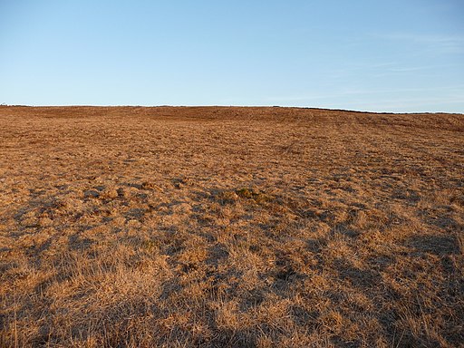
The walk starts from the Haddon Hill car park which lies just to the east of the hill. From here you can pick up a footpath heading west to take you to the summit viewpoint. Here you will find a trig point standing at 1,164 feet (355 m) above sea level. From this elevated spot there are excellent views across the adjacent lake towards Dartmoor. The hill is also covered in lovely heather during the late summer months with lots of birdlife and butterflies to look out for too.
After taking in the views the route descends to the north towards Hartford where you can pick up a lakeside trail running along the southern edge of Wimbleball Lake. Follow the trail east and it will take you past a woodland area toward Bridge End. The route then turns west to follow paths back to the car park.
Postcode
TA4 2DS - Please note: Postcode may be approximate for some rural locationsHaddon Hill Ordnance Survey Map  - view and print off detailed OS map
Haddon Hill Open Street Map  - view and print off detailed map
*New* - Walks and Cycle Routes Near Me Map - Waymarked Routes and Mountain Bike Trails>>
Haddon Hill OS Map  - Mobile GPS OS Map with Location tracking
Haddon Hill Open Street Map  - Mobile GPS Map with Location tracking
Pubs/Cafes
You could head into the nearby village of Brompton Regis for some well earned refreshments after your walk. Here you'll find the George Inn, a quintessential Exmoor pub with a lovely garden area and beautiful views over Exmoor hills. You can find them on the western side of the lake at postcode TA22 9PD for your sat navs.
Dog Walking
The hills and woods make for a fine walk for fit dogs. The George mentioned above is also dog friendly.
Further Information and Other Local Ideas
The hill is part of the Brendon Hills which you can explore further on the Brendon Hills Walk. This visits Lype Common and Lype Hill to the north.
The hill is also close to a major highlight of the area at the picturesque Tarr Steps.
A few miles to the east you will find the lovely Clatworthy Reservoir near the historic market town of Wiveliscombe.
For more walking ideas in the area see the Exmoor Walks page.


