Hadzor Circular Walk
![]()
![]() This circular walk explores the area around the village of Hadzor near Droitwich Spa. The walk includes lots of waterside sections, nice countryside views and a visit to an attractive town park.
This circular walk explores the area around the village of Hadzor near Droitwich Spa. The walk includes lots of waterside sections, nice countryside views and a visit to an attractive town park.
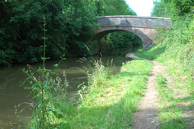
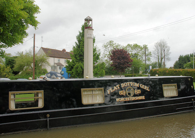
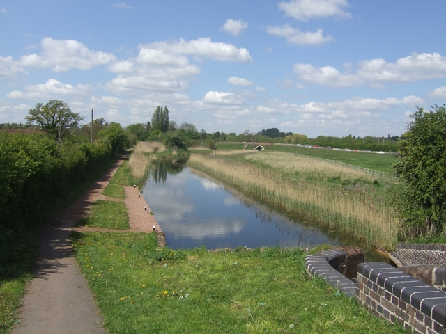
The walk starts in the village and heads south east to Hammonds Bridge to pick up the Worcester and Birmingham Canal. Follow the towpath north and it will take you to Hadzor Bridge and Hanbury Wharf. The route then continues west into Droitwich, passing along the Droitwich Canal where there are barges to look out for a the series of locks. In the town you will head south through the pretty Lido Park where there's an outdoor swimming pool. You then head east to pass Cockshutehill Farm and return to Hadzor.
Hadzor Circular Walk Ordnance Survey Map  - view and print off detailed OS map
Hadzor Circular Walk Open Street Map  - view and print off detailed map
Hadzor Circular Walk OS Map  - Mobile GPS OS Map with Location tracking
Hadzor Circular Walk Open Street Map  - Mobile GPS Map with Location tracking
Further Information and Other Local Ideas
The Wychavon Way runs through the Hadzor. You pick up the long distance trail to further explore the Worcestershire countryside.
The Hanbury Circular Walk is another good local option. Here you can enjoy a climb to Hanbury Hill Church where you'll find the St Mary the Virgin church which dates from the year 1200.
Just to the west is the worthy village of Ombersley where you'll find a number of interesting timber framed properties, an ancient 15th century pub and the historic Ombersley House Estate.
For more walks around Droitwich see the Worcestershire Walks page.
Cycle Routes and Walking Routes Nearby
Photos
Lido Park, Droitwich. Path leading to the recently renewed Lido Swimming Pool. The lido is the only salt water swimming pool in the country


