Harlaw Reservoir Walk
![]()
![]() This easy walk visits Harlaw Reservoir, near Edinburgh. The site is located near Balerno, about 8 miles south-west of the city centre. It's a lovely, peaceful area with nice views of the surrounding Pentland Hills.
This easy walk visits Harlaw Reservoir, near Edinburgh. The site is located near Balerno, about 8 miles south-west of the city centre. It's a lovely, peaceful area with nice views of the surrounding Pentland Hills.
The reservoir has a nice 2 mile footpath running around the perimeter. You can park at the visitor centre car park at the northern end of the water. From here it is a short stroll to the footpath which runs through the waterside woodland. You can extend the walk by heading along the footpath to the adjacent Threipmuir Reservoir where you can also visit Bavelaw Castle.
To continue your exercise, simply head to Balermo and pick up the Water of Leith Walkway. It's a great way to explore the city on a well surfaced cycling and walking trail. On the trail you'll also visit the delightful Dean Village, a historical area with some wonderful Georgian Architecture.
If you'd like to continue your reservoir walking then you could head towards Livingston and visit Eliburn Reservoir and Cobbinshaw Reservoir where there's some lovely views and wildfowl to look out for. Just to the east you will find the Pentland Hills visitor centre at Flotterstone. From here you can enjoy a walk along the Glencorse Burn to Glencorse Reservoir.
Postcode
EH14 7AS - Please note: Postcode may be approximate for some rural locationsHarlaw Reservoir Ordnance Survey Map  - view and print off detailed OS map
Harlaw Reservoir Open Street Map  - view and print off detailed map
Harlaw Reservoir OS Map  - Mobile GPS OS Map with Location tracking
Harlaw Reservoir Open Street Map  - Mobile GPS Map with Location tracking
Further Information and Other Local Ideas
A couple of miles north east of the reservoir you'll find Bonaly Country Park. There's some hill climbs and waterside walks along Torduff Reservoir here.
To the south west there's Harperrig Reservoir to explore. Here you'll find some interesting wildlife including various wildfowl and the Eurasian otter. The site also includes views of the Water of Leith and the 15th century Cairns Castle ruins. At the eastern end of the lake you can pick up the long distance Cross Borders Drove Road. It runs south through the Pentland Hills to West Linton, Peebles, Traquair and then on to Hawick via the Yarrow Valley.
For more walking ideas in the area see the Pentland Hills Walks page.
Cycle Routes and Walking Routes Nearby
Photos
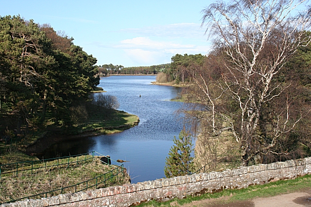
Harlaw Reservoir 1. Seen from the top of the dam at Threipmuir Reservoir. Note the fisherman in the middle of the reservoir - suggesting that it isn't very deep at that point.
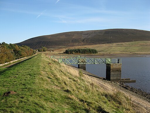
Harlaw Reservoir 3. View of the east arm of the reservoir. The water is kept intentionally low as part of the Water of Leith flood prevention scheme.


