Harlow Walks - Canal and Parks Walk
![]()
![]() Harlow is located in West Essex in a nice spot in the River Stort Valley. There's good waterside footpaths, a local wood/nature reserve and several waymarked walking trails running through the town.
Harlow is located in West Essex in a nice spot in the River Stort Valley. There's good waterside footpaths, a local wood/nature reserve and several waymarked walking trails running through the town.
This canal and river walk walk takes you to neighbouring Sawbridgeworth along a section of the River Stort Navigation which runs along the northern fringes of the town. It also visits the nearby Pishiobury Park where there are some easy surfaced trails to try. On the way there's a number of picturesque locks and nice country views.
The walk starts from Harlow Town rail station where you can directly pick up the Stort Valley Way. Follow the waymarked trail east and it will take you past Gilston, Latton Lock, Hollingson Meads and Feakes Lock before coming to Sawbridgeworth. The route then leaves the river to follow trails through Nursery Wood and Pishiobury Park. This pleasant park on the outskirts of Sawbridgeworth includes wet woodland (The Osier Bed), grazed fields and flood meadows. It's a nice place for a short circular walk before returning to the river and following the waterside path back to the train station in Harlow.
Harlow Ordnance Survey Map  - view and print off detailed OS map
Harlow Open Street Map  - view and print off detailed map
Harlow OS Map  - Mobile GPS OS Map with Location tracking
Harlow Open Street Map  - Mobile GPS Map with Location tracking
Pubs/Cafes
The Moorhen is located in a great spot close to the start of the walk. The riverside pub has a nice garden area where you can sit out and enjoy views over the river. They also do good food at reasonable prices. You can find them on Burnt Mill Lane with a postcode of CM20 2QS for your sat navs.
Dog Walking
The river trails and the paths in Pishiobury Park make for a nice dog walk. The Moorhen mentioned above has an outdoor dog friendly area.
Further Information and Other Local Ideas
You can extend the walk by continuing north along the river to Bishop's Stortford. Near here there's the interesting village of Stansted Mountfitchet. The village includes a number of interesting local attractions including a church dating from the 12th-13th century, an 18th century windmill and a toy museum which claims to be the largest in the world. There's also the noteworthy Mountfitchet Castle which is now run as a wonderful Living History Museum where you can experience life as a villager in 1066.
The long distance Harcamlow Way starts in the town. This waymarked figure of eight trail explores the countryside of the counties of Cambridgeshire, Essex and Hertfordshire. One nice idea is to follow it to nearby Saffron Walden and visit the lovely gardens at Audley End or the fine Tudor buildings at Newport.
Near here there's also Clavering where there's a noteworthy 14th century church and some delightful almshouses dating back to the 15th century. You'll also pass picturesque Arkesden which is well worth exploring.
Just to the south of the town there's Parndon Wood where you can try the nature trail and look out for a variety of wildlife.
For more walking ideas in the area see the Essex Walks page.
Cycle Routes and Walking Routes Nearby
Photos
Lee & Stort Navigations: Moorhen Marina turning basin. This turning basin enables long narrowboats to make the right-angled turn into and out of the marina, which is to the right, from and to the navigable River Stort.
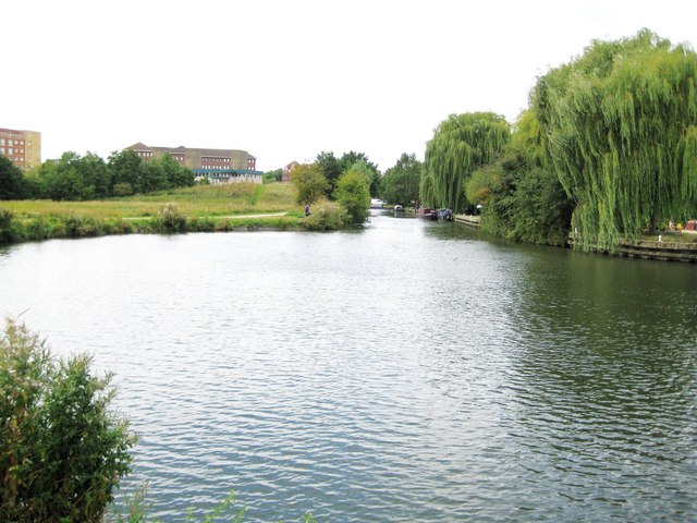
Footbridge over the River Stort (Navigation). A new footbridge over the River Stort (Navigation) on the northern outskirts of Harlow. Looking north, north east the river flows towards Sawbridgeworth.
Harlow Outdoor Pursuits Centre. Includes a new building containing the Harlow Climbing Wall. This wall has over 1,000 square metres of climbing surface area and is the largest such facility in South East England. The old outside climbing wall is in front. The centre, which is next to the River Stort, is run by Essex County Council's Outdoor Education Department.
River Stort. The last in a series of distinctive bends going east before the river swings round in a large arc to flow from the north


