Harrow On The Hill Walks
![]()
![]() Harrow on the Hill village is an interesting place for a walk in Greater London.
Harrow on the Hill village is an interesting place for a walk in Greater London.
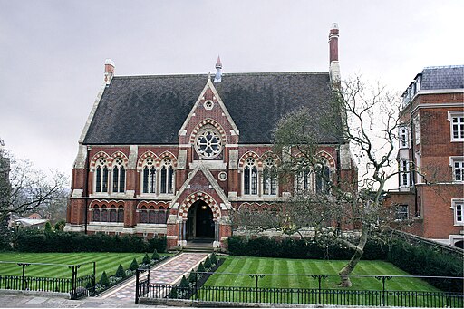
The historic area includes the 11th-century St Mary's Church and Harrow School, one of the most famous public schools in England. You can enjoy a stroll around the churchyard of the elevated church which sits atop Harrow Hill. From here there are fine views over the city of London with visible landmarks including Canary Wharf, the BT Tower in Warren Street, and Wembley Stadium. The Grade I listed church is the highest building in the historic county of Middlesex.
Footpaths will then take you through the village and past the school's old buildings and grounds. The Old Schools date back to 1615 and are Grade I listed.
In the area there's also antiquarian shops, Victorian cottages and many other notable old buildings to admire.
To stretch your legs further head to the nearby Harrow Weald Common or Fryent Country Park which lies just to the east.
Harrow On The Hill Ordnance Survey Map  - view and print off detailed OS map
Harrow On The Hill Open Street Map  - view and print off detailed map
Harrow On The Hill OS Map  - Mobile GPS OS Map with Location tracking
Harrow On The Hill Open Street Map  - Mobile GPS Map with Location tracking
Walks near Harrow On The Hill
- Harrow Weald Common - This area of common land in Harrow has some nice footpaths to try
- Harrow Viewpoint - This walk visits the splendid Harrow Viewpoint in North London
- Fryent Country Park - Explore 103 hectares (254 acres) of rolling fields, hills and woodland in this country park and nature reserve in the London Borough of Brent
- Horsenden Hill - This circular walk in Ealing climbs to Horsenden Hill
- London Loop - Also known as the London Outer Orbital Path, this walk takes you on a tour of the parks, woods and fields around the edge of Outer London
- Oxhey Woods - These peaceful woods near Watford have nice footpaths and a popular sculpture trail to follow
- Stanmore Common - This is a walk across Stanmore Common to Aldenham Country Park using part of the London Loop long distance trail
- Bentley Priory - This circular walk explores the popular Bentley Priory nature reserve in Harrow
- Scratchwood and Moat Mount Open Space - These two parks are situated right next to each other in the London Borough of Barnet


