Hawkley Hanger Walk
![]()
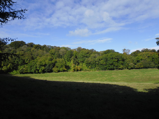
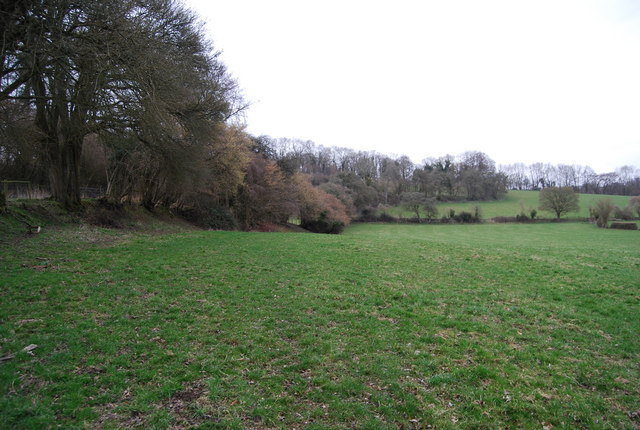
![]() This walk climbs to Hawkley Hanger and Noar Hill in the Hampshire Hangers.
This walk climbs to Hawkley Hanger and Noar Hill in the Hampshire Hangers.
The walk starts from the Hawkley Inn in the village of Hawkley. This fine pub serves high quality food and is popular with walkers and cyclists. From here you can pick up the Hangers Way and follow the waymarked trail to the Hanger. Keep going north along the trail and it will take you along woodland paths to Noar Hill. Here you will find a delightful nature reserve noted for its wildflowers and butterfly species. You could extend the walk by continuing north to Selborne Common where there's one of the highest points in the county.
For an alternative circular walk in the area see the video below. This will take you to Shoulder of Mutton Hill, Happersnaper Hanger and the Poets Stone - a memorial to local poet Edward Thomas who lost his life in the First World War.
Postcode
GU33 6NE - Please note: Postcode may be approximate for some rural locationsHawkley Ordnance Survey Map  - view and print off detailed OS map
Hawkley Open Street Map  - view and print off detailed map
Hawkley OS Map  - Mobile GPS OS Map with Location tracking
Hawkley Open Street Map  - Mobile GPS Map with Location tracking
Walks near Hawkley
- Noar Hill - This circular walk climbs to the Noar Hill Nature Reserve from the village of Selborne, in the Hampshire Downs
- Hangers Way - Travel through Hampshire from Alton to the Queen Elizabeth Country Park along this 21 mile walking path.
The route passes through the delightful village of Selborne where you can take a detour to visit the lovely Selborne Common - Selborne Common - This circular walk visits Selborne Common and Selborne Hill, one of the highest points in the county of Hampshire
- Shoulder of Mutton Hill and Edward Thomas - This literary walk in Hampshire climbs to Shoulder of Mutton Hill to visit the memorial of the poet Edward Thomas in the Hampshire Downs
- Alton - The Hampshire town of Alton is nicely positioned on the northern edge of the South Downs National Park
- Hogmoor Inclosure Bordon - This walk visits the Hogmoor Inclosure in Bordon, East Hampshire.
- Liss - This circular walk around the Hampshire village of Liss, uses waymarked trails to explore the surrounding countryside and woodland
Pubs/Cafes
The Hawkley Inn serves good quality food and has a fine selection of ales. They provide rooms and there's also a spacious garden for warmer days. You can find them on Pococks Lane with postcode GU33 6NE for your sat navs.
The inn is dog friendly if you have your canine friend with you.
Photos
The Hawkley Inn, Hawkley. The settlement also includes a pretty village green and an old church with some particularly splendid ancient yew trees.


