Hayling Island
![]()
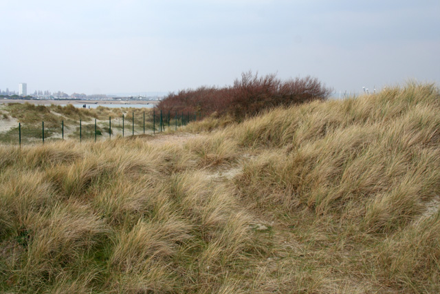
![]() Enjoy a coastal walk around the southern part of Hayling Island on this circular route. The walk visits Sinah Common, Ferry Point, South Hayling, Eaststoke Beach and the Sandy Point Nature Reserve. There's lovely views over Hayling Bay, sand dunes and a series of nice beaches to enjoy.
Enjoy a coastal walk around the southern part of Hayling Island on this circular route. The walk visits Sinah Common, Ferry Point, South Hayling, Eaststoke Beach and the Sandy Point Nature Reserve. There's lovely views over Hayling Bay, sand dunes and a series of nice beaches to enjoy.
Start the walk from the car park by the lake on Sinah Common. Follow the paths west past Sinah Lake to Ferry Point, the westernmost tip of Hayling Island. Here you can catch a passenger ferry to Eastney in Portsmouth.
Elements of World War 2 gun batteries and pill boxes can be seen on the common and there are nice views to Portsdown Hill and Butser Hill from Ferry Point. The area also includes the Kench, a small bay which is also a designated nature reserve.
After rounding the point you head south and follow the beach east through South Hayling to Eaststoke. At the eastern tip you will pass Sandy Point Nature Reserve where there's lots of wildlife to look out for and great views across to the Witterings and Selsey Bill on a clear day.
The walk then heads up to Black Point and then past the Sparkes Marina before following the coastal road back to the car park.
To continue your walking on the island you can pick up the Hayling Billy Trail. The shared cycling and walking trail runs along the western coast of the island, with great views of Langstone Harbour.
Just to the north west of the island you will find the Farlington Marshes. There's lovely trails to follow along the sea wall with a huge variety of waders to see in the wetlands and marshes.
To the east of the island you can visit Thorney Island where there's great coastal trails to try.
Hayling Island Ordnance Survey Map  - view and print off detailed OS map
Hayling Island Open Street Map  - view and print off detailed map
Hayling Island OS Map  - Mobile GPS OS Map with Location tracking
Hayling Island Open Street Map  - Mobile GPS Map with Location tracking
Pubs/Cafes
The Ship Inn is a good choice for some refreshments. The family-friendly seaside pub overlooks Sweare Deep and Emsworth Harbour in Langstone. There's a fantastic outdoor area right next to the water and a cosy interior with a warming fire. You can find the pub in Langstone with a postcode of PO9 1RD for your sat navs.
Another good option is the Ferryboat Inn at Sinah on the south western tip of the island. It's another fine waterside pub with views over Langstone Harbour. The pub has a good sized car park, a fine menu and is also dog friendly. You can find the pub at postcode PO11 0DG.


Pictured above the Ship Inn and the beach at Sinah near the Ferryboat Inn. Both great waterside places to relax outside with a drink on a summer day.


