Hessle Foreshore Walk
![]()
![]() This walk takes you along a section of the Trans Pennine Trail from Hessle to Hull in East Riding of Yorkshire.
This walk takes you along a section of the Trans Pennine Trail from Hessle to Hull in East Riding of Yorkshire.
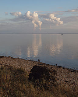
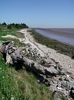
The area is very attractive with the peaceful river bank and great views over the River Humber to the iconic Humber Bridge. The route runs for just over 6 miles on very flat paths, so is suitable for most abilites. There are train stations at either end of the route so you have the option of returning by rail if you wish.
Start the walk at Hessle Cliff car park near the train station and Humber Bridge. Here you can pick up the waymarked trail and follow it east, passing Hessle Haven, St Andrews Quay and the Albert Dock in Hull. At the Victoria Pier the route turns away from the river to head through the city centre. You'll pass the art gallery and the City Hall before coming to the train station, where the walk finishes.
Near the start of the walk you will find Humber Bridge Country Park. The park is a great place to continue your exercise with woods, meadows, ponds and cliffs to explore. There are also dramatic views over the River Humber and the Humber Bridge.
A walking and cycling trail will also take you across the bridge to Barton-on-Humber. You can pick this up from the nearby country park on our Humber Bridge Walk.
Hessle Foreshore Walk Ordnance Survey Map  - view and print off detailed OS map
Hessle Foreshore Walk Open Street Map  - view and print off detailed map
*New* - Walks and Cycle Routes Near Me Map - Waymarked Routes and Mountain Bike Trails>>
Hessle Foreshore Walk OS Map  - Mobile GPS OS Map with Location tracking
Hessle Foreshore Walk Open Street Map  - Mobile GPS Map with Location tracking
Further Information and Other Local Ideas
In Hull you could continue east along the river to explore the docks and visit The Deep, a huge aquarium with over 3500 fish.
On the north western side of Hull you'll find the worthy villages of Cottingham and Skidby. The main attraction here is the Grade II listed Skidby Mill which dates back to 1821. The working mill includes an interesting museum and a fine restaurant with a landscaped garden.
On the opposite side of the river you can try the Barton Upon Humber Walk along the Humber Foreshore. There's much to enjoy here with the Far Ings nature reserve and Water's Edge visitor centre and country park to see.


