Hickling Canal Walk
![]()
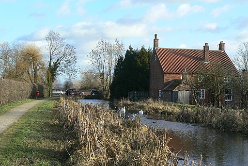
![]() This walk follows a pleasant section of the Grantham Canal and the Cross Britain Way from the village of Hickling to Harby.
This walk follows a pleasant section of the Grantham Canal and the Cross Britain Way from the village of Hickling to Harby.
It's about a 5.5 mile walk to the neighbouring village, so ideal for an afternoon stroll. The village also has a fine 18th century canalside pub to relax in after your exercise. Along the way there's fine views of the lovely Vale of Belvoir countryside to enjoy.
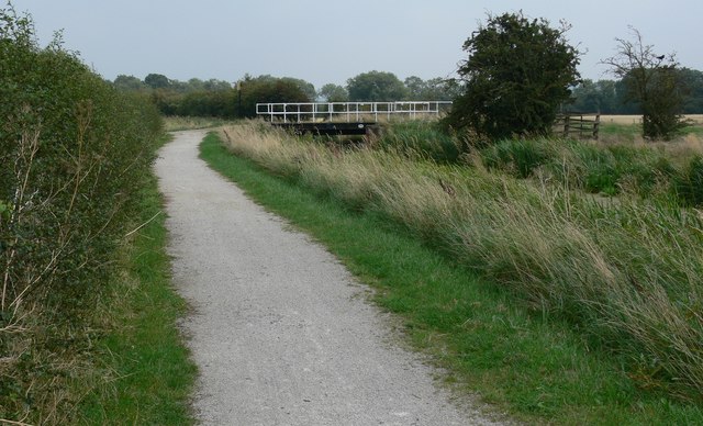
The walk starts just north of Hickling where you can pick up the canal towpath and follow it east past Clarke's Bridge to the village of Hose. The route continues to Harby where you can leave the canal and head south to explore the village and enjoy some refreshments.
Postcode
LE14 3AH - Please note: Postcode may be approximate for some rural locationsHickling Ordnance Survey Map  - view and print off detailed OS map
Hickling Open Street Map  - view and print off detailed map
Hickling OS Map  - Mobile GPS OS Map with Location tracking
Hickling Open Street Map  - Mobile GPS Map with Location tracking
Pubs/Cafes
Back in the village the Plough Inn is a nice place to go for refreshments. The 18th century pub was originally built as a stop off for boats transporting goods up and down the canal. It's situated right opposite the canal wharf and has a cosy interior with an open fire. Outside there's a sunny courtyard and a bright sun terrace enhanced with beautiful palms. You can find them on Main Street at postcode LE14 3AH.
Dog Walking
The towpath is a nice place for an easy dog walk. The Plough Inn mentioned above is also dog friendly.
Further Information and Other Local Ideas
Head north along the canal and it will take you towards Kinoulton and Cotgrave Country Park near Nottingham. The attractive park includes woodland, wetland and pretty lakes.
Cycle Routes and Walking Routes Nearby
Photos
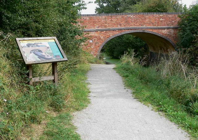
Bridge 32: Clark's Bridge. The bridge and information board are located along the Grantham Canal, east of Hickling. The information board states:
"Clark's Bridge is typical of those on the Grantham. Built in the late 1700s from red handmade bricks, it probably had stone copings. The blue brick copings you see today were added later. The bridge's surface is grass, forming an access track to nearby fields. Permission to build the canal was probably dependent on this type of access bridge being included.
Many bridge numbers on the canal are hand painted. Clark's Bridge also has a hand painted nameplate. Both features can be seen from the towpath."


