Hilbre Island Walk
![]()
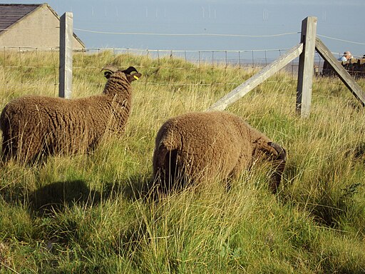
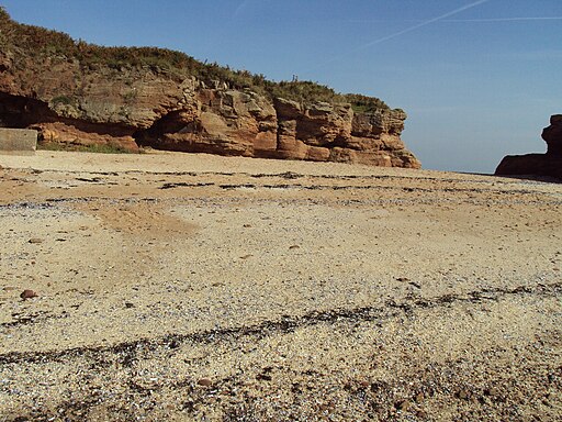
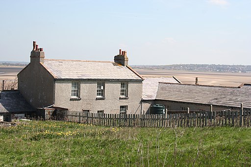
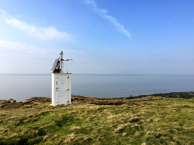
![]() Visit this beautiful island and nature reserve off the coast of West Kirby and enjoy some fabulous coastal scenery.
Visit this beautiful island and nature reserve off the coast of West Kirby and enjoy some fabulous coastal scenery.
The three tidal islands lying at the mouth of the Dee Estuary - Little Eye, Middle Eye and Hilbre are designated as the Hilbre Islands Nature Reserve. You can access the islands by foot from West Kirby at low tide. The safest route to is to start from the slipway at Dee Lane, next to the Marine Lake in West Kirby, walk towards Little Eye, keeping it on your right. As soon as you pass Little Eye turn right and continue on the sand passing Middle Eye on your left. Between Middle Eye and Hilbre take the rough track over the rocks towards the small tidal pool. Once off the rocks turn left towards the gate at the south end of Hilbre. Do not cross direct to Hilbre Island, and do not cross from Hoylake. You must check the tide tables before you go and leave the island 3 hours before high water so you have plenty of time to get back to the mainland.
The islands are fantastic for wildlife with an abundance of wildfowl and waders visiting the estuary. Grey seals can be seen swimming around the island most days and whales and dolphins have also been spotted.
Please click here for more information
Hilbre Island Ordnance Survey Map  - view and print off detailed OS map
Hilbre Island Open Street Map  - view and print off detailed map
Hilbre Island OS Map  - Mobile GPS OS Map with Location tracking
Hilbre Island Open Street Map  - Mobile GPS Map with Location tracking
Further Information and Other Local Ideas
Head south along the coastal Wirral Way and you can visit Wirral Country Park, Thurstaston Common, Royden Park, Parkgate, Heswall Dales and Neston with its splendid botanical gardens. All of these nearby sites have some fine walking trails to try.
For more walking ideas in the area see the Merseyside Walks and the Wirral Walks pages.


