Hoo Peninsula Path
![]()
![]() Explore the special scenery of the Hoo Peninsula on this waterside walk in Kent. The path runs along the River Thames estuary with a huge number of wading birds to look out for on the way. It runs for about 18 miles from Gravesend in the west, to the village of Allhallows at the eastern end of the path. On the way you'll pass a series of pretty bays, Cliffe Pools Nature Reserve, Blyth Sands, Halstow Marshes and St Mary's Marshes. The scenery is varied with grazing marsh, intertidal mudflats, saltmarsh and lagoons.
Explore the special scenery of the Hoo Peninsula on this waterside walk in Kent. The path runs along the River Thames estuary with a huge number of wading birds to look out for on the way. It runs for about 18 miles from Gravesend in the west, to the village of Allhallows at the eastern end of the path. On the way you'll pass a series of pretty bays, Cliffe Pools Nature Reserve, Blyth Sands, Halstow Marshes and St Mary's Marshes. The scenery is varied with grazing marsh, intertidal mudflats, saltmarsh and lagoons.
To explore the area by bike you can follow the Heron Trail cycle route across the peninsula. Walkers can follow the Saxon Shore Way long distance path.
This walk passes the splendid Cliffe Pools nature reserve which is well worth exploring further. It's an RSPB site with a number of lagoons and birds such as lapwings, redshanks, warblers, corn and reed buntings, linnets, stonechats and skylarks to look out for.
Hoo Peninsula Path Ordnance Survey Map  - view and print off detailed OS map
Hoo Peninsula Path Open Street Map  - view and print off detailed map
Hoo Peninsula Path OS Map  - Mobile GPS OS Map with Location tracking
Hoo Peninsula Path Open Street Map  - Mobile GPS Map with Location tracking
Pubs/Cafes
The Three Daws in Gravesend is well worthy of some investigation. The historic riverside inn dates back to the 1400s, making it one of the oldest in the country. As such it's steeped with tales of smugglers, Press Gangs, hauntings and the like. It would have been a popular haunt for seamen as at one time large sailing merchant ships used to anchor off the Three Daws. Today you can enjoy lovely British food in the garden area overlooking the River Thames. It's a splendid spot to relax in on warmer days. You can find them at the start of the walk at the Town Pier with a postcode of DA11 0BJ for your sat navs.
Further Information and Other Local Ideas
At the eastern end of the peninsula you will find the Isle of Grain. There's a coastal park with a nice beach and a trail along the sea wall where you can enjoy views across the Medway Estuary to Sheerness.
For more walking ideas in the area see the Kent Walks page.
Cycle Routes and Walking Routes Nearby
Photos
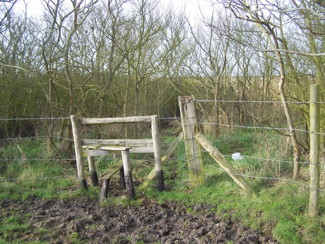
Stile on footpath, near Dagnam Saltings. Path No.RS4 from Allhallows briefly leaves marshland on coast and travels into farmland going through hedgeline before returning to coastline to travel to St Mary's Bay.
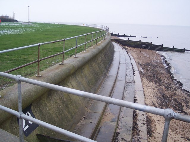
Fence on Sea Wall. This marks the boundary between Cliffe and Cliffe Woods Civil Parish, and High Halstow Civil Parish. High Halstow has a concrete sea wall, Cliffe has cheaper rock made sea wall. Is also fence between farms as well.
Stone Groynes on Sea Wall. Sea wall in between Egypt Bay and St Mary's Bay. Groynes made by timber posts marking position and width of groynes, then rocks are piled in timber shape. But coastal erosion has removed some or most of these rocks on these groynes.
Stile near the Sea Wall Embankment. This stile is on a footpath from Avery Way car park (near the British Pilot pub) towards the Sea Wall footpath along the River Thames.


