Horbury Canal Walk
![]()
![]() This village near Wakefield has some pleasant waterside walks along the canal and the River Calder.
This village near Wakefield has some pleasant waterside walks along the canal and the River Calder.
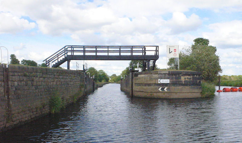
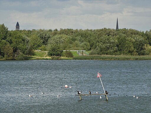
This walk from the village takes you east along the Calder and Hebble Navigation canal to visit Calder Grove and Pugneys Country Park. Here you can enjoy some lovely footpaths around the picturesque lakes and wildlife rich nature reserve.
Please scroll down for the full list of walks near and around Horbury. The detailed maps below also show a range of footpaths, bridleways and cycle paths in the area.
Horbury Ordnance Survey Map  - view and print off detailed OS map
Horbury Open Street Map  - view and print off detailed map
Horbury OS Map  - Mobile GPS OS Map with Location tracking
Horbury Open Street Map  - Mobile GPS Map with Location tracking
Walks near Horbury
- Wakefield - This Yorkshire town is a great base for walkers with numerous local parks, canalside trails, several nearby reservoirs and riverside paths along the Calder.
- Pugneys Country Park - This 250 acre park contains two lakes with pleasant waterside footpaths
- Newmillerdam Country Park - Enjoy cycling and walking paths in this popular country park in Wakefield
- Wintersett Reservoir - This pretty reservoir near Wakefield has a nice walking trail running along the western side of the water
- Anglers Country Park - Enjoy a peaceful walk or cycle around this pretty country park in Wakefield
- Nostell Priory - Explore 300 acres of parkland and gardens surrounding this 18th-century treasure house near Wakefield
- Wakefield Canal - Follow the Wakefield Branch of the Aire and Calder Navigation Canal from Wakefield to Castleford on this waterside walk in West Yorkshire
- Barnsley Canal - Enjoy a waterside walk or cycle along the Barnsley Canal on this easy route near Royston
- Ardsley Reservoir - This circular walk takes you around Ardsley Reservoir in East Ardsley, near Tingley in Leeds
- Fitzwilliam Country Park - Enjoy a short circular walk or cycle along the network of way-marked paths in this pretty country park in the Wakefield area of Yorkshire
- Hemsworth Water Park - Enjoy a short stroll along the lakes in this lovely park near Wakefield
- Ryburn Reservoir and Baitings Reservoir - This walk visits these two pretty reservoirs near Rishworth in West Yorkshire
- Walton Hall Park - A walk around the pretty parkland surrounding Walton Hall in Wakefield
- Ossett - This West Yorkshire market town is located in the Wakefield area of the county
- Morley - This West Yorkshire town is located close to Leeds and Wakefield
- Allerton Bywater - This village near Leeds has a series of pleasant waterside footpaths to try
- Castleford Greenway - This route follows the Castleford Greenway and the Trans Pennine Trail from Castleford to Wakefield in Yorkshire.
Pubs/Cafes
The Navigation Inn is splendidly positioned on an island between the River Calder & Calder & Hebble Navigation. You can sit outside and watch the boats go by on the waterways. It's also a short walk from Calder Vale on the other bank of the river via an interesting tubular footbridge. The pub can be found at Broad Cut Road, Calder Grove, WF4 3DS. The inn is dog friendly.
Photos
Fishing on the Horbury cut, Calder & Hebble Navigation A tranquil and pleasant stretch of the Horbury cut. A good place to see swans too. The footbridge, carrying Balk Lane, actually runs along the border of two adjacent grid squares, ending in the square to the west.


