Horsted Keynes Walks
![]()
![]() This pretty West Sussex village has some good walking country trails and a couple of fine old pubs for post exercise refreshment. There is also a historic church dating from the Norman period. The Grade I listed church is notable as the burial place of Harold Macmillan, ex-prime minster of Britain.
This pretty West Sussex village has some good walking country trails and a couple of fine old pubs for post exercise refreshment. There is also a historic church dating from the Norman period. The Grade I listed church is notable as the burial place of Harold Macmillan, ex-prime minster of Britain.
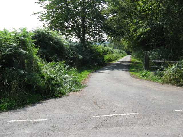
This circular walk explores the countryside and woods to the north of the village. You'll visit a number of local fishing lakes before heading over to see the Horsted Keynes railway station on the old Bluebell Railway.
The walk starts at the public car park in the village centre where you can pick up the Sussex Border Path and follow the waymarked trail north to Broadhurst Manor, passing a series of fishing lakes on the way. The route bends round to the west at Tanyard before heading south to Cinder Hill and then along the railway line to the old station on the heritage steam railway.
You then pass Leamland Wood and Pain's Wood before returning to the village centre.
Postcode
RH17 7EF - Please note: Postcode may be approximate for some rural locationsHorsted Keynes Ordnance Survey Map  - view and print off detailed OS map
Horsted Keynes Open Street Map  - view and print off detailed map
Horsted Keynes OS Map  - Mobile GPS OS Map with Location tracking
Horsted Keynes Open Street Map  - Mobile GPS Map with Location tracking
Pubs/Cafes
Head to The Green Man after your walk for rest and refreshment. The historic pub is located in a lovely spot next to the village green. They serve a lovely Sunday roast and have a nice outdoor seating area for warmer weather. You can find them at postcode RH17 7AS for your sat navs.
Dog Walking
The woods and country trails around the village make for a fine dog walk. The Green Man mentioned above is also dog friendly.
Further Information and Other Local Ideas
You could continue your outing by catching the Bluebell Railway to the beautiful Sheffield Park where there are a number of pretty lakes and woodland trails to explore. The trains also run to nearby East Grinstead, Lewes, Haywards Heath and Ardingly where you can enjoy waterside walking along the lovely Ardingly Reservoir.
For more walking ideas in the area see the Sussex Walks page.
Cycle Routes and Walking Routes Nearby
Photos
The village green. There is a grocery shop to the right of the picture and a pub further down the road. There was a pub to the left of the photo, but this now seems to be in the process of being converted to flats.


