Hotham Walks
2.1 miles (3.4 km)
![]()
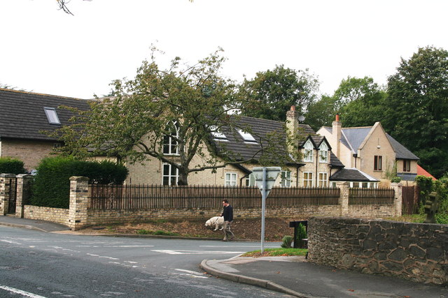
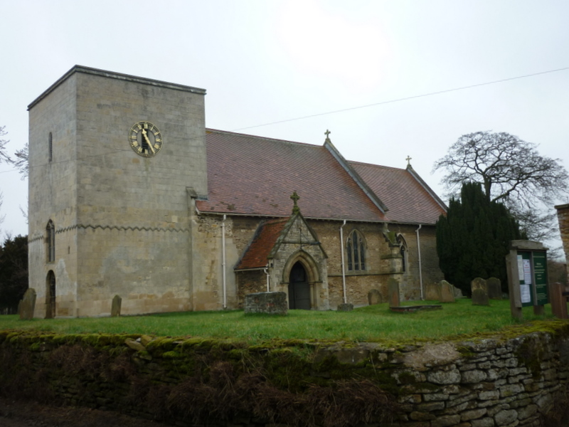
![]() This small village is located in East Riding of Yorkshire, near North Cave and Market Weighton.
This small village is located in East Riding of Yorkshire, near North Cave and Market Weighton.
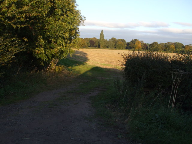
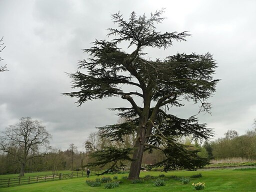
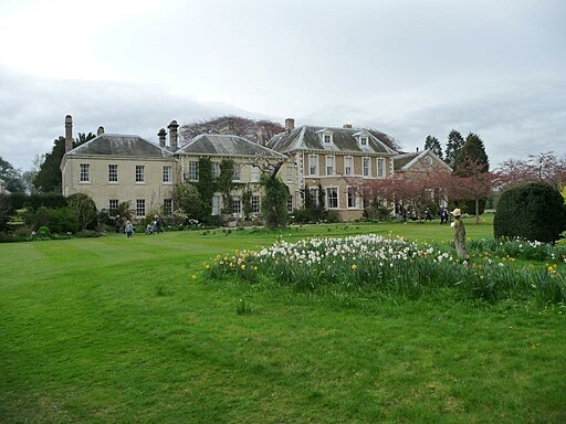
This walk from the village takes you south past the historic Hotham Hall Estate. The Georgian Hall includes parkland, gardens and lakes and stretches down to the neighbouring village of North Cave. Here you can extend the walk by heading west to visit the North Cave Wetlands nature reserve where there's lots of birdlife to look out for.
Postcode
YO43 4UD - Please note: Postcode may be approximate for some rural locationsHotham Ordnance Survey Map  - view and print off detailed OS map
Hotham Open Street Map  - view and print off detailed map
Hotham OS Map  - Mobile GPS OS Map with Location tracking
Hotham Open Street Map  - Mobile GPS Map with Location tracking
Walks near Hotham
- North Cave Wetlands - This walk visits the North Cave Wetlands nature reserve in North Cave, East Riding of Yorkshire.
- North Cliffe Woods - This peaceful walk visits North Cliffe Woods in the East Riding of Yorkshire.
- South Cave - The village of South Cave is located in the East Riding of Yorkshire and the Yorkshire Wolds.This circular walk from the village visits some of the lovely wolds and dales in the surrounding area
- Brantingham - The Yorkshire Wolds village of Brantingham has a number of waymarked trails running through the area
- Welton Dale - A circular walk around Welton Dale in East Riding of Yorkshire
- Market Weighton Circular Walk - This circular walk around Market Weighton makes use of the Yorkshire Wolds Way to take you on a tour of the countryside, woodland, lakes and parkland surrounding the East Riding town
- Market Weighton Canal - Follow the Market Weighton Canal from the town of Market Weighton to the Humber Estuary on this waterside walk in the East Riding of Yorkshire.
Starting in the town centre follow the Weighton Beck south west for about 1.5 miles and you will join with the canal - Londesborough Park - Enjoy a lovely stroll through the Londesborough Estate on this short walk near Pocklington, in the East Riding of Yorkshire
- Goodmanham - A circular walk from the Wolds settlement of Goodmanham exploring the countryside to the east of the village
- Yorkshire Wolds Way - Starting on the banks of the Humber Estuary at Hessle follow this charming route through the peaceful and beautiful Yorkshire countryside
- High Hunsley Circuit - Travel through the beautiful Yorkshire Wolds on this delightful circular walk.
The walk starts and ends in Brantingham Thorpe park and visits the villages of Walkington, Skidby, Brantingham, South Cave and Bishop Burton - Beverley Twenty - This 20 mile walk runs from Hessle to Beverley through the Yorkshire wolds.
The walk starts near Hull in Hessle, at Humber Bridge Country Park and takes you to the Humber Estuary with fine views of the Humber Bridge - Howden 20 - This 20 mile circular walk takes you on a tour of the countryside around the market town of Howden in Yorkshire.
Pubs/Cafes
After your walk you can enjoy refreshments at the Hotham Arms. The cosy pub serves good food and has a nice garden area for warmer weather.

