Hucking Estate
![]()
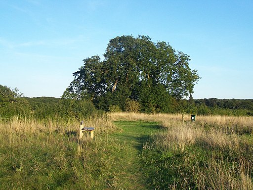
![]() Enjoy a peaceful stroll through the ancient woodland and open grassland of the Hucking Estate in the Kent Downs AONB. Waymarked walking trails will take you along well surfaced paths with scupltures and fantastic views over the surrounding countryside. Spring is a great time for this walk as you will find a carpet of pretty bluebells in the delightful woodland glades. Free parking is available on Church Road, where this circular walk starts and finishes.
Enjoy a peaceful stroll through the ancient woodland and open grassland of the Hucking Estate in the Kent Downs AONB. Waymarked walking trails will take you along well surfaced paths with scupltures and fantastic views over the surrounding countryside. Spring is a great time for this walk as you will find a carpet of pretty bluebells in the delightful woodland glades. Free parking is available on Church Road, where this circular walk starts and finishes.
If you'd like to extend your walk then you could follow the North Downs Way to the nearby White Horse Wood Country Park for more walking trails with great views. It is located about 2.5 miles to the west.
The Hucking Estate is located a few miles north east of Maidstone where you can enjoy some pleasant riverside walks.
Postcode
ME17 1QS - Please note: Postcode may be approximate for some rural locationsHucking Estate Ordnance Survey Map  - view and print off detailed OS map
Hucking Estate Open Street Map  - view and print off detailed map
Hucking Estate OS Map  - Mobile GPS OS Map with Location tracking
Hucking Estate Open Street Map  - Mobile GPS Map with Location tracking
Pubs/Cafes
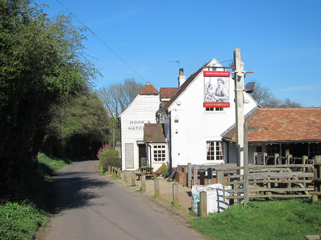
The 19th century Hook and Hatchet is conveniently located right next to the estate. They serve fine homemade pub food which you can enjoy in the lovely garden large area. You can find them just west of the car park at postcode ME17 1QT for your sat navs. They also have a camping area if you've got your tent with you.
Dog Walking
The woodland and country trails on the estate are ideal for dog walking. The Hook and Hatchet pub mentioned above is also dog friendly.
Further Information and Other Local Ideas
The circular Hollingbourne starts from the nearby village and skirts the southern edge of the estate. The historic village is well worthy of some investigation with over a hundred listed timber framed buildings and the noteworthy All Saints Church which dates from the 14th century.
Just to the south east there's the neighbouring village of Harrietsham where you can pick up the circular bluebell woodland walk. The walk includes a visit to the noteworthy Ringlestone Inn, a beautiful grade II listed pub housed in building dating back to 1533 and originally used as a hospice for monks.
Cycle Routes and Walking Routes Nearby
Photos
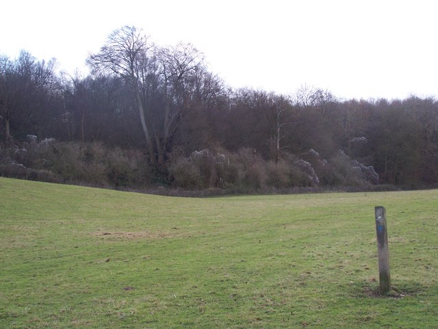
Chitt's Wood. Mixed broadleaf woodland - oak, ash, birch, hazel, holly, sweet chestnut. Now managed by the Woodland Trust.
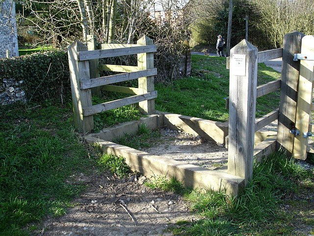
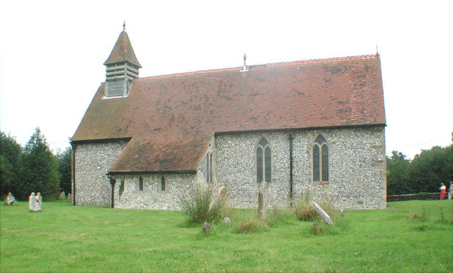
Entrance to Hucking Estate. Just to the east of St Margaret's church, presumably designed to discourage wheeled vehicles while allowing access for people, dogs and horses to this Access Land.
