Inchcailloch Island
![]()
![]() Follow the lovely nature trail around this picturesque small island on Loch Lomond.
Follow the lovely nature trail around this picturesque small island on Loch Lomond.
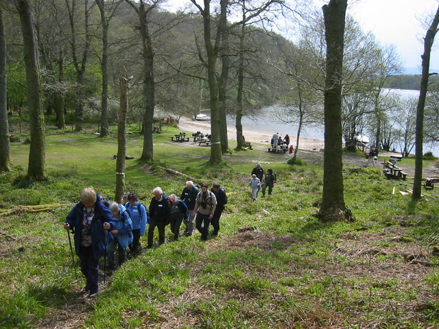
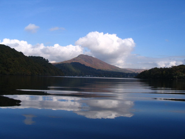
You can catch the ferry to Inchcailloch Island from Balmaha then pick up the round the island footpath on pleasant woodland trails. On the way you can do the short climb to the island summit where there are fabulous views across the loch to Ben Lomond. At the south western end of the island you will also find Port Bawn with its little beach, picnic tables and jetty. The circular trail runs for about 2 miles on fairly easy paths.
Postcode
G63 0JQ - Please note: Postcode may be approximate for some rural locationsInchcailloch Island Ordnance Survey Map  - view and print off detailed OS map
Inchcailloch Island Open Street Map  - view and print off detailed map
Inchcailloch Island OS Map  - Mobile GPS OS Map with Location tracking
Inchcailloch Island Open Street Map  - Mobile GPS Map with Location tracking
Explore the Area with Google Street View 
Pubs/Cafes
The Oak Tree Inn sits in a lovely location next to Loch Lomond in Balmaha. The award winning inn serves good quality food and has a fine selection of ales. If the weather is fine you can sit outside under the eponymous oak tree. They also provide rooms if you would like to stay in the area. You can find them at postcode G63 0JQ for your sat navs.
Further Information and Other Local Ideas
To continue your walking in the area you could try the woodland trails around Balmaha Forest or enjoy a climb to the splendid viewpoint at Conic Hill.
The epic West Highland Way also runs through Balmaha. You could pick up the long distance trail and follow it north along the loch to Rowardennan on the Balmaha to Milarrochy Bay and Rowardennan Walk. It's a popular section of the waymarked trail with a visit to the beautiful Milarrochy Bay a real highlight.
For more walking ideas in the area see the Loch Lomond and the Trossachs Walks page.
Cycle Routes and Walking Routes Nearby
Photos
South Bay, Inchcailloch, Loch Lomond. The island of Inchcailloch is largely wooded and has this beautiful sandy bay at its SW end.
Trig Point on Bromley Muir, looking down to the islands below. On a clear day, this a very good spot from which to appreciate certain features of Scotland's geology, as explained below. The dark distant mountain in the extreme left of the background is Ben Lomond, its summit lost in the clouds. Located left of centre is the largest of Loch Lomond's islands, Inchmurrin ("Island of St Mirrin"). There are few smaller islands strung out in a line beside Inchmurrin (in this photo, they are to its right). They are: Creinch, "Island of the Trees", easily picked out here as a small domed island with a wide flat line (the isle of Inchfad) above it; to the right again are Torrinch, "The hill [or tower] island", and Inchcailloch, "Island of the old woman [or the nun]", although from this angle they seem to blend into Conic Hill. To locate the long ridge of Conic Hill in the photograph, note that it is slightly darker than the hills behind it, and that it seems to be sticking out to the left from the top quarter of the trig point. The ridge lines up perfectly with the chain of islands, as can be seen even more clearly from Conic Hill itself. As those photos make plain, the course of this line continues as hills on the other side of the loch. The alignment, which is quite conspicuous even from this trig point, is no coincidence: both the ridge and the islands lie along the course of the Highland Boundary Fault, which traverses the entire width of Scotland.


