Jenkin's Crag Walk
![]()
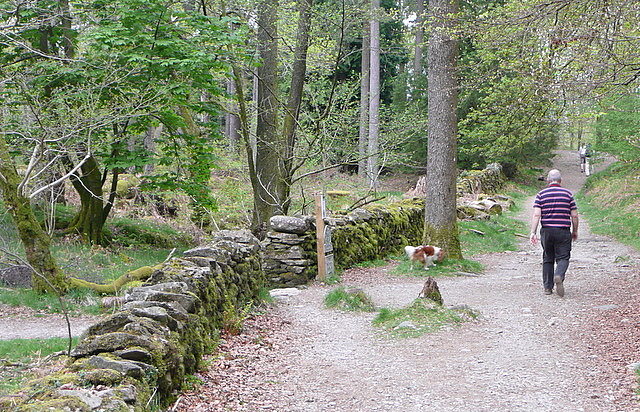
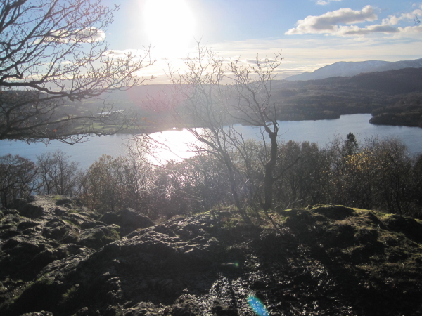
![]() This is a nice easy climb to try from Waterhead in Ambleside. It takes you from the northern end of Lake Windermere to a viewpoint overlooking the lake. There's a footpath near to the bus stop on the A591 which is signed for Jenkin's Crag. You climb toward Skelghyll Wood where you pick up woodland trails to the viewpoint. Here you can enjoy great views over the lake to the surrounding mountains. It's a short walk of about 0.5 miles and a nice one to do if you are staying in Waterhead or if you've got half an hour to spare before catching a bus from Waterhead!
This is a nice easy climb to try from Waterhead in Ambleside. It takes you from the northern end of Lake Windermere to a viewpoint overlooking the lake. There's a footpath near to the bus stop on the A591 which is signed for Jenkin's Crag. You climb toward Skelghyll Wood where you pick up woodland trails to the viewpoint. Here you can enjoy great views over the lake to the surrounding mountains. It's a short walk of about 0.5 miles and a nice one to do if you are staying in Waterhead or if you've got half an hour to spare before catching a bus from Waterhead!
The walk also passes the pretty Stagshaw Gardens. The gardens are owned by the National Trust and include a lovely collection of shrubs, plants and flowers including rhododendrons, azaleas and camellias.
Jenkin's Crag Ordnance Survey Map  - view and print off detailed OS map
Jenkin's Crag Open Street Map  - view and print off detailed map
Jenkin's Crag OS Map  - Mobile GPS OS Map with Location tracking
Jenkin's Crag Open Street Map  - Mobile GPS Map with Location tracking
Pubs/Cafes
The 17th century Wateredge Inn is a great place for refreshments with a lake view. It's located right next to Lake Windermere and includes a large outdoor seating area which is perfect for summer days. You can find it on Borrans Road, Ambleside, with a postcode of LA22 0EP for your sat navs.
Further Information and Other Local Ideas
For another fairly easy climb in the area head into Ambleside and try the Stock Ghyll Force Walk. There's nice woodland trails and a rushing waterfall to see here.
For more walking ideas in the area see the Lake District Walks page.


