Kilmartin Glen Walk
![]()
![]() This walk visits a fascinating ancient site near the village of Kilmartin in Argyll and Bute.
This walk visits a fascinating ancient site near the village of Kilmartin in Argyll and Bute.
The site includes over 800 prehistoric monuments including the Ballymeanoch stones, the circle at Temple Wood and the remains at Dunadd of the fortress of the Scots.
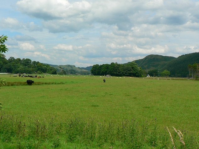
You can start the walk in the village and then follow footpaths south to the burial cairns, henge monuments and standing stones. On the way there are also glorious views of the surrounding countryside and hills.
Back in the village you can visit the Kilmartin Museum and find out more about the history and archaeology of the area.
See the photos and supporting text below for more information on each on the monuments you can see at the site. The video further down also gives more details on the history of the site.
Postcode
PA31 8RQ - Please note: Postcode may be approximate for some rural locationsKilmartin Glen Ordnance Survey Map  - view and print off detailed OS map
Kilmartin Glen Open Street Map  - view and print off detailed map
Kilmartin Glen OS Map  - Mobile GPS OS Map with Location tracking
Kilmartin Glen Open Street Map  - Mobile GPS Map with Location tracking
Further Information and Other Local Ideas
The epic Caledonia Way passes through the area. The signed cycle route runs from Campbeltown to Inverness passing many of the spectacular highlights of the area. Much of the route is also suitable for walkers.
Cycle Routes and Walking Routes Nearby
Photos
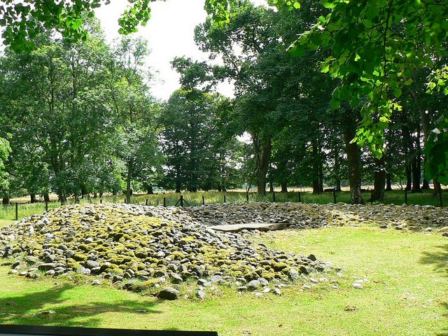
Kilmartin's linear cemetery. This is the only chambered cairn of the five in Kilmartin's linear cemetery. Excavations in 1864 revealed evidence for use over perhaps a thousand years. A round-based bowl dates to about 2,500 BC while a Beaker, arrowheads and cists show people used the site differently hundreds of years later. There were two secondary cists: this one, still visible, is 8m from the chamber, and consists of four massive slabs and capstone.
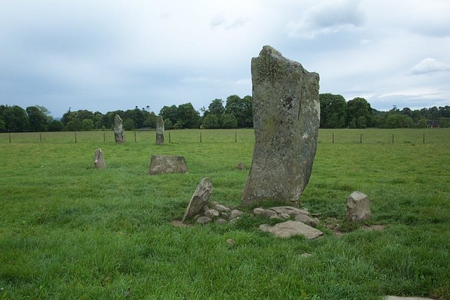
Nether Largie Standing Stones. There are two pairs of standing stones approximately 64 metres apart with a small group of four stones and another of five stones between them. This view is of the central stones looking towards the pair at the south-west.
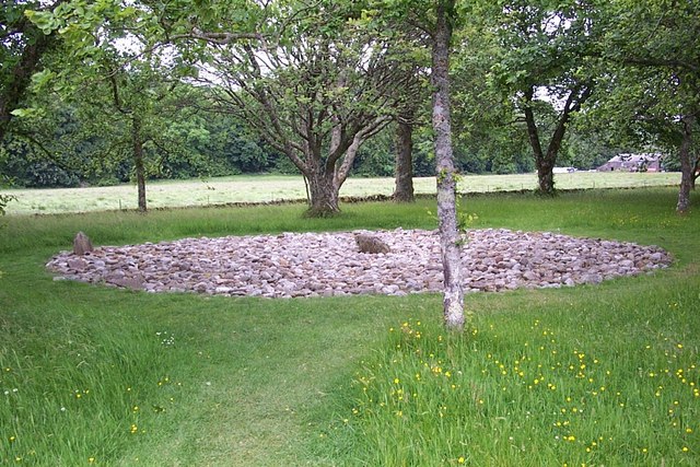
Templewood stone circle 2. This is the central part of the larger of two stone circles which lie within sight of Kilmartin's linear cemetery and Nether Largie standing stones. Excavations in 1929 and 1974-9 revealed a sequence of use over a least 2,000 years. One circle may date to 3,500. Burials and pottery associated with the other are over 1000 years younger.


