King Alfred's Trail
![]()
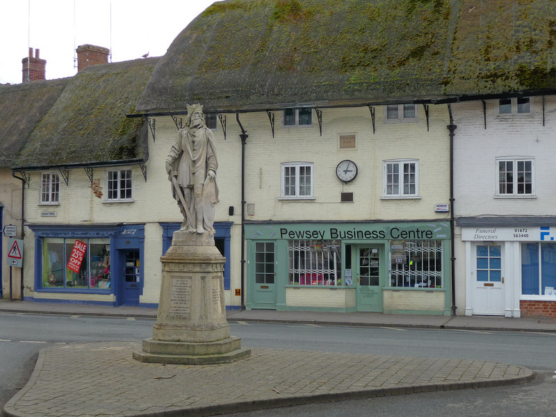
![]() Take a pad and pencil with you on this delightful circular walk around Pewsey and take brass rubbings of the engraved plaques along the route.
Take a pad and pencil with you on this delightful circular walk around Pewsey and take brass rubbings of the engraved plaques along the route.
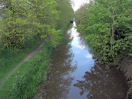
The plaques have been developed by Wiltshire Walking for All and feature images of animals, insects and plants that you might see on the walk. The route also includes a pleasant waterside section along the Kennet and Avon Canal.
Good places to stop for refreshment include Pewsey Wharf and the pub by the village green at Wilcot.
Please click here for more information
King Alfred's Trail Ordnance Survey Map  - view and print off detailed OS map
King Alfred's Trail Open Street Map  - view and print off detailed map
King Alfred's Trail OS Map  - Mobile GPS OS Map with Location tracking
King Alfred's Trail Open Street Map  - Mobile GPS Map with Location tracking
Further Information and Other Local Ideas
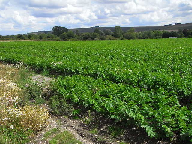
The Pewsey Walk will take you along the Kennet and Avon Canal Walk and then into the countryside of the Vale of Pewsey and onto Pewsey Downs where there are splendid views from the high points.
For more walking ideas in the area see the Wiltshire Walks and the North Wessex Downs Walks pages.
Cycle Routes and Walking Routes Nearby
Photos
Elevation Profile


