Kinghorn Loch
![]()
![]() This pretty little loch is located just inland of the coastal settlements of Kinghorn and Burntisland in Fife.
This pretty little loch is located just inland of the coastal settlements of Kinghorn and Burntisland in Fife.
At the site there's some nice waterside and woodland trails plus a bird hide where you can look out for a variety of water loving birds.
At the northern side of the water there's the Earthship Fife Visitor Centre where you can enjoy a bite to eat at the cafe.
Postcode
KY3 9YG - Please note: Postcode may be approximate for some rural locationsKinghorn Loch Ordnance Survey Map  - view and print off detailed OS map
Kinghorn Loch Open Street Map  - view and print off detailed map
Kinghorn Loch OS Map  - Mobile GPS OS Map with Location tracking
Kinghorn Loch Open Street Map  - Mobile GPS Map with Location tracking
Further Information and Other Local Ideas
In nearby Elie there's also the exhilarating Elie and Earlsferry Chain Walk to try. This challenging scramble takes you along rocky path with fascinating geology and fine coastal views.
Head to Burntisland and you could pick up the Aberdour to Burntisland Coastal Path which runs along the epic Fife Coastal Path.
Head west and there's more nice lochside paths in Dunfermline around Loch Fitty and Townhill Country Park.
Cycle Routes and Walking Routes Nearby
Photos
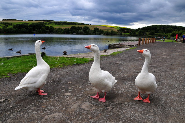
Kinghorn Loch. Craigencalt Farm Ecology Centre and Community Woodland, and the closely associated boat launching area is a very popular location for anglers


