King's Meaburn Walks
![]()
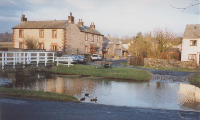
![]() This small Cumbrian village sits in a quiet rural spot in the valley of the River Lyvennet.
This small Cumbrian village sits in a quiet rural spot in the valley of the River Lyvennet.
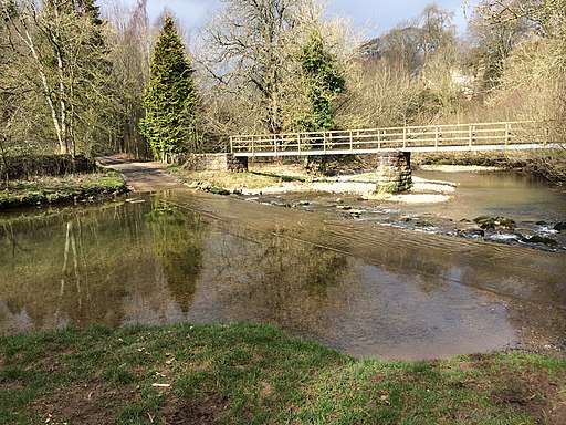
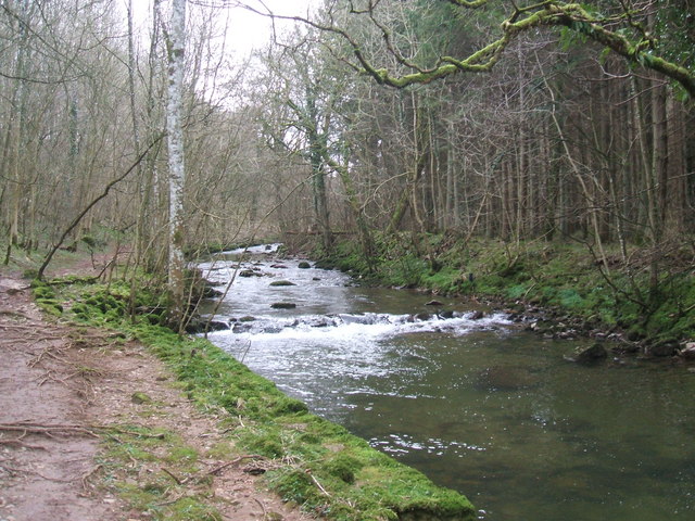
This walk from the village takes you along the river visiting the picturesque ford and the photogenic Jackdaw's Scar. The impressive limestone outcrop lies just to the west of the village and is a popular place for rock climbers.
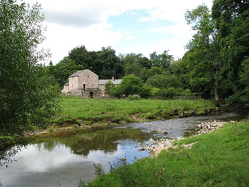
You'll continue along the pretty river to the old mill before heading across the countryside to visit the neighbouring village of Morland.
The village lies just to the west of Appleby in Westmorland where you can enjoy a lovely walk along the River Eden and visit the secluded Rutter Force Waterfall. You can also pick up the long distance Dales High Way here.
Just to the north west there's the Whinfell Forest where there's miles of good woodland walking trails to try.
To the west is the Lake District where you can visit the beautiful Ullswater Lake and the historic Askham Hall.
Kings Meaburn Ordnance Survey Map  - view and print off detailed OS map
Kings Meaburn Open Street Map  - view and print off detailed map
Kings Meaburn OS Map  - Mobile GPS OS Map with Location tracking
Kings Meaburn Open Street Map  - Mobile GPS Map with Location tracking
Walks near Kings Meaburn
- Appleby Riverside Walk - Enjoy waterside walking along the River Eden and Hoff Beck on this circular walk around Appleby-in-Westmorland
- Rutter Force - This walk takes you to the picturesque Rutter Force waterfall from the village of Appleby in Westmorland
- Dales High Way - This long distance waymarked walk runs for about 90 miles across the beautiful countryside of the Yorkshire Dales.
- Whinfell Forest - This walk visits the Cliburn Moss Nature Reserve before following woodland trails into the adjacent Whinfell Forest
- Askham Hall - This walk takes you through Askham Hall and along the River Lowther in the northern area of the Lake District
- Askham Fell - This circular walk climbs to the viewpoint at Askham Fell from the Lake District village of Askham
- Lowther Castle - Explore 130 acres of gardens and castle terraces on this walk near Penrith in the Lake District.
- Ullswater Way - Explore the area around Ullswater Lake on this waymarked circular walk in the Lake District National Park
- Pennine Way - This fabulous 268 mile path takes you through three of England's finest national parks
- High Cup Nick - This circular walk explores High Cup Nick, a spectacular glacial valley and one of the major highlights in the North Pennines AONB
- Murton Pike - This walk climbs to Murton Pike from the village of Murton in in the Eden District of Cumbria.
- Dufton Pike - This circular walk climbs to Dufton Pike from the village of Dufton in the North Pennines AONB
- Orton Scar - This circular walk visits Orton Scar in Orton Fells in Cumbria
- Great Asby Scar - This walk climbs to Great Asby Scar from the village of Great Asby in Cumbria.


