Lambton Park Walks
![]()
![]() This walk visits the historic Lambton Park Estate in Tyne and Wear. The wider estate has miles of riverside footpaths and and an old castle to see. It is only open on certain days but there are public footpaths running along the eastern side of the estate. The castle is a stately home, and the ancestral seat of the Lambton family, the Earls of Durham.
This walk visits the historic Lambton Park Estate in Tyne and Wear. The wider estate has miles of riverside footpaths and and an old castle to see. It is only open on certain days but there are public footpaths running along the eastern side of the estate. The castle is a stately home, and the ancestral seat of the Lambton family, the Earls of Durham.
This walk starts in Fatfield next to the river and follow the Great North Forest Trail along the eastern edge of the estate. It will take you past Biddick Hall to the Bowes entrance and car park. If the park is open to visitors you can explore 11 km of permissive seasonal walks. Here you can enjoy splendid views along the River Wear Gorge to the Castle, taking in the old racecourse, woodland and open parkland. See the link below for more details and opening times.
Postcode
DH3 4AN - Please note: Postcode may be approximate for some rural locationsPlease click here for more information
Lambton Park Ordnance Survey Map  - view and print off detailed OS map
Lambton Park Open Street Map  - view and print off detailed map
Lambton Park OS Map  - Mobile GPS OS Map with Location tracking
Lambton Park Open Street Map  - Mobile GPS Map with Location tracking
Further Information and Other Local Ideas
To continue your walking in the area head east to climb to the Penshaw Monument. There's some fabulous views over the area from the elevated position of this local landmark. Just to the south of the monument there's also Herrington Country Park to explore.
Head a few miles south along the Great North Forest Heritage Trail and there's Hetton Lyons Country Park to explore. There's a fine lakeside cycling and walking trail here with good facilities including watersports and a cafe.
For more walking ideas in the area see the Tyne and Wear Walks page.
Cycle Routes and Walking Routes Nearby
Photos
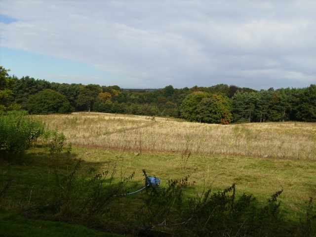
This track leads through a narrow belt of woodland to a field, a short distance from the main track west of The Grange in Lambton Park.
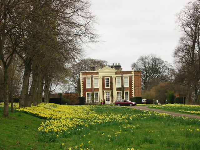
South East Entrance to the Lambton Estate. The path to these gates splits off from the bridle path running through (what is left of) Biddick Woods on the border of the Lambton Estate. These gates lead to Biddick Hall (the home of the Earl of Durham) on his estate, although, like the north gate, they are not in use.


